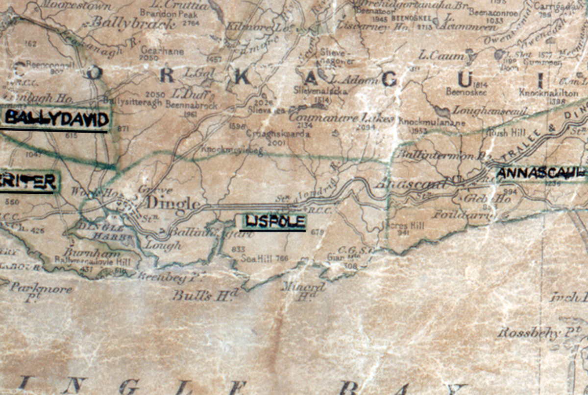
 Area: Lispole
Started: August 1953
Finished: January 1954
Poles used: 579
Line used (km): 50
Premises connected: 182
The figures above were sourced from our REO News magazine, to learn more about what these figures mean, visit our interactive map. The map above shows the area boundary and is from a digitised version of the original map used during the scheme.
Sales in Lispole were reasonable as reported in The REO News from February 1954.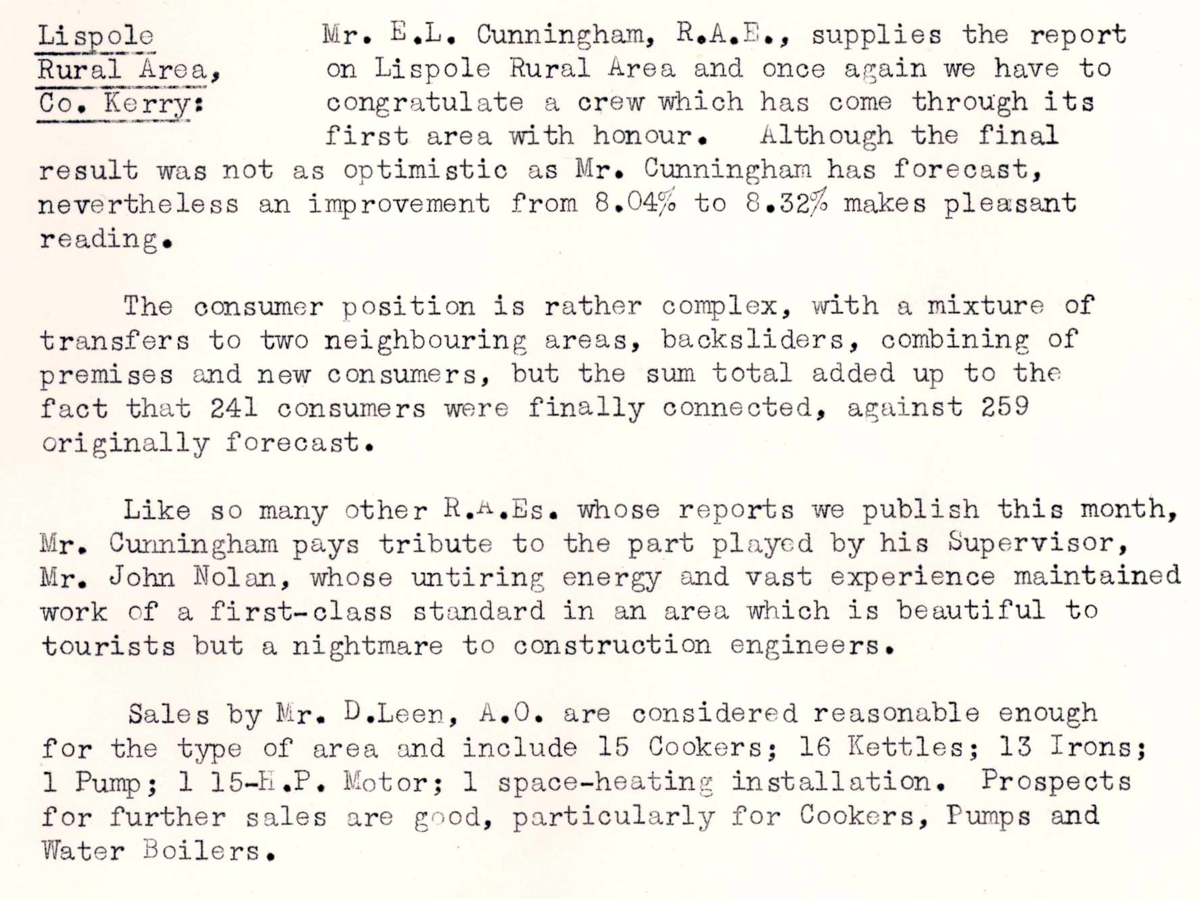 This digital scan from the REO News displays the following text:
"Lispole Rural Area, Co. Kerry: Mr. E.L. Cunningham, R.A.E., supplies the report on Lispole Rural Area and once again we have to congratulate a crew which has come through its first area with honour. Although the final result was not as optimistic as Mr. Cunningham has forecast, nevertheless an improvement from 8.04% to 8.32% makes pleasant reading.
The consumer position is rather complex, with a mixture of transfers to two neighbouring areas, backsliders, combining of premises and new consumers, but the sum total added up to the fact that 241 consumers were finally connected, against 259 originally forecast.
Like so many other R.A.E.s whose reports we publish this month, Mr. Cunningham pays tribute to the part played by his Supervisor, Mr. John Nolan, whose untiring energy and vast experience maintained work of a first-class standard in an area which is beautiful to tourists but a nightmare to construction engineers.
Sales by Mr. D. Leen, A.O., are considered reasonable enough for the type of area and include 15 Cookers; 16 Kettles; 13 Irons; 1 Pump; 1 1.5 H.P. Motor; 1 space-heating installation. Prospects for further sales are good, particularly for Cookers, Pumps and Water Boilers."