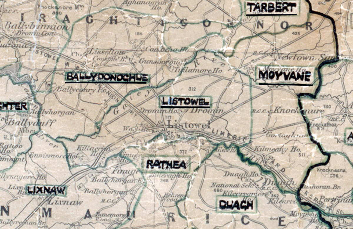
 Area: Listowel
Started: September 1955
Finished: March 1956
Poles used: 1045
Line used (km): 88
Premises connected: 245
The figures above were sourced from our REO News magazine, to learn more about what these figures mean, visit our interactive map. The map above shows the area boundary and is from a digitised version of the original map used during the scheme.
An abundance of timber and bog posed problems in Listowel reports The REO News from May 1956.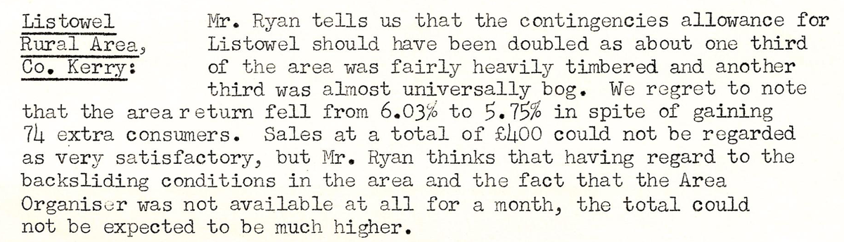 This digital scan from the REO News displays the following text:
"Listowel Rural Area, Co. Kerry: Mr. Ryan tells us that the contingencies allowance for Listowel should have been doubled as about one third of the area was fairly heavily timbered and another third was almost universally bog. We regret to note that the area return fell from 6.03% to 5.75% in spite of gaining 74 extra consumers. Sales at a total of £400 could not be regarded as very satisfactory, but Mr. Ryan thinks that having regard to the backsliding conditions in the area and the fact that the Area Organiser was not available at all for a month, the total could not be expected to be much higher."