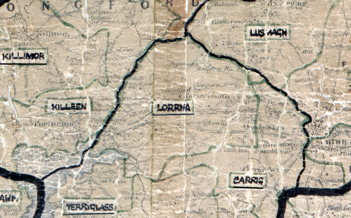
 Area: Lorrha
Started: February 1950
Finished: June 1950
Poles used: 481
Line used (km): 45
Premises connected: 145
The figures above were sourced from our REO News magazine, to learn more about what these figures mean, visit our interactive map. The map above shows the area boundary and is from a digitised version of the original map used during the scheme.
There was an excessive amount of rock in Lorrha according to The REO News from June 1940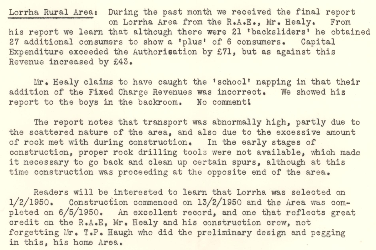 This digital scan from the REO News displays the following text:
"Lorrha Rural Area: During the past month we received the final report on Lorrha Area from the R.A.E., Mr. Healy. From his report we learn that although there were 21 “backsliders” he obtained 27 additional consumers to show a “plus” of consumers. Capital Expenditure exceeded the Authorisation by £71, but as against this Revenue increased by £43.
Mr. Healy claims to have caught the “school” napping in that their addition of the Fixed Charge Revenue was incorrect. We showed his report to the boys in the backroom. No comment!
The report notes that transport was abnormally high, partly due to the scattered nature of the area, and also due to the excessive amount of rock met with during construction. In the early stages of construction, proper rock drilling tools were not available, which made it necessary to go back and clean up certain spurs, although at this time construction was proceeding at the opposite end of the area.
Readers will be interested to learn that Lorrha was selected on 1/2/1950. Construction commenced on 13/2/1950 and the Area was completed on 6/5/1950. An excellent record, and one that reflects great credit on the R.A.E., Mr. Healy and his construction crew, not forgetting Mr. T.P. Haugh who did the preliminary design and pegging in this, his home Area."