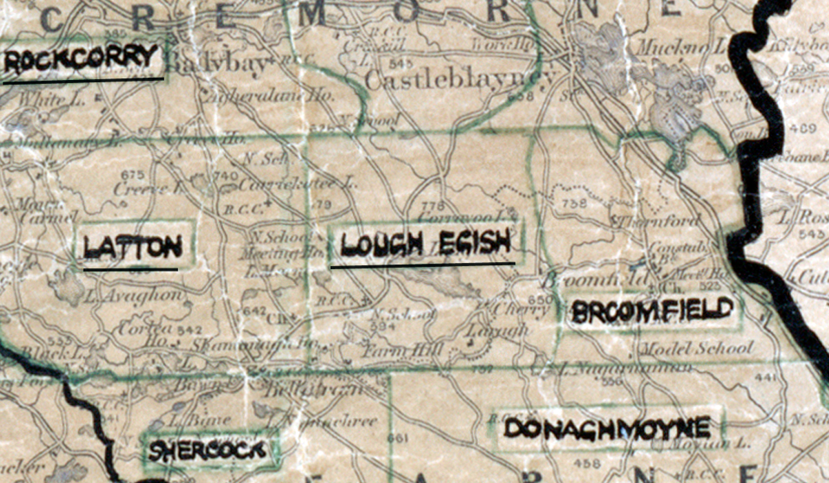
 Area: Lough Egish
Started: September 1955
Finished: April 1956
Poles used: 895
Line used (km): 75
Premises connected: 85
The figures above were sourced from our REO News magazine, to learn more about what these figures mean, visit our interactive map. The map above shows the area boundary and is from a digitised version of the original map used during the scheme.
Backsliding was low in Lough Egish according to The REO News from June 1956
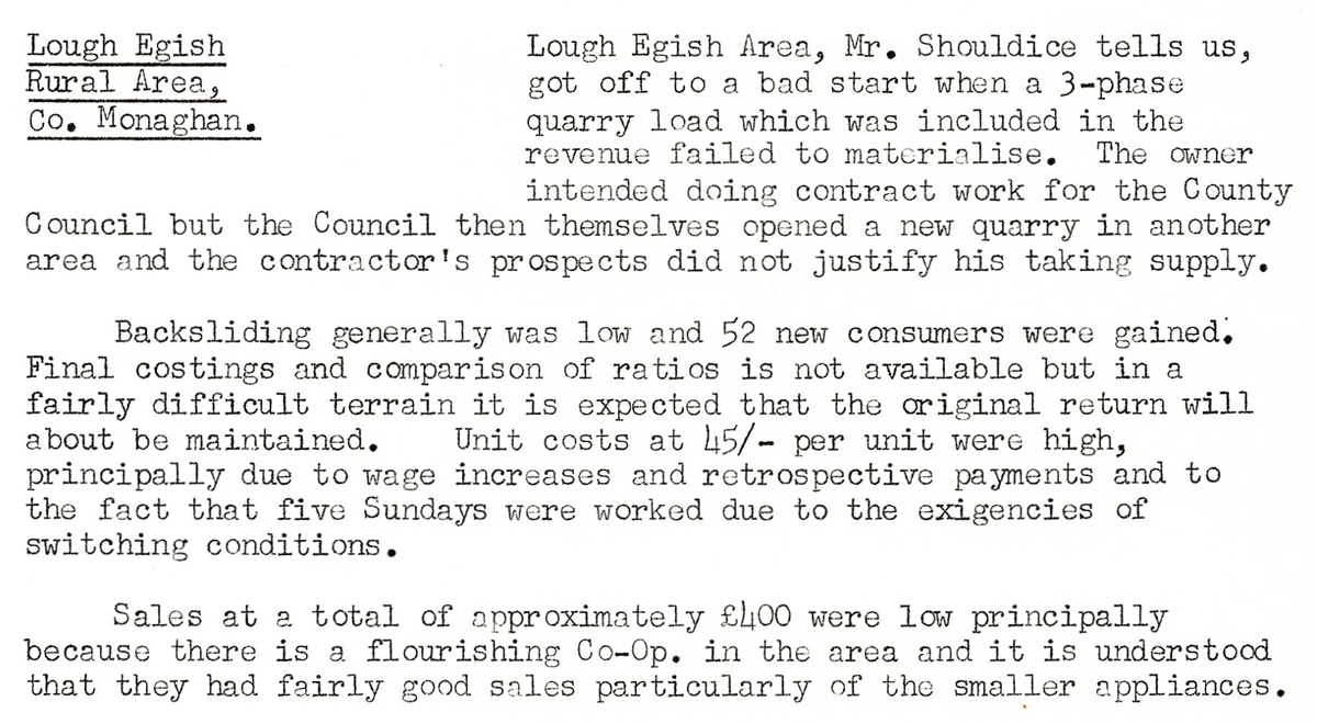 This digital scan from the REO News displays the following text:
"Lough Egish Rural Area, Co. Monaghan:
Lough Egish Area, Mr. Shouldice tells us, got off to a bad start when a 3‑phase quarry load which was included in the revenue failed to materialise. The owner intended doing contract work for the County Council but the Council then themselves opened a new quarry in another area and the contractor’s prospects did not justify his taking supply.
Backsliding generally was low and 52 new consumers were gained. Final costings and comparison of ratios is not available but in a fairly difficult terrain it is expected that the original return will about be maintained. Unit costs at 45/‑ per unit were high, principally due to wage increases and retrospective payments and to the fact that five Sundays were worked due to the exigencies of switching conditions.
Sales at a total of approximately £100 were low principally because there is a flourishing Co‑Op. in the area and it is understood that they had fairly good sales particularly of the smaller appliances."