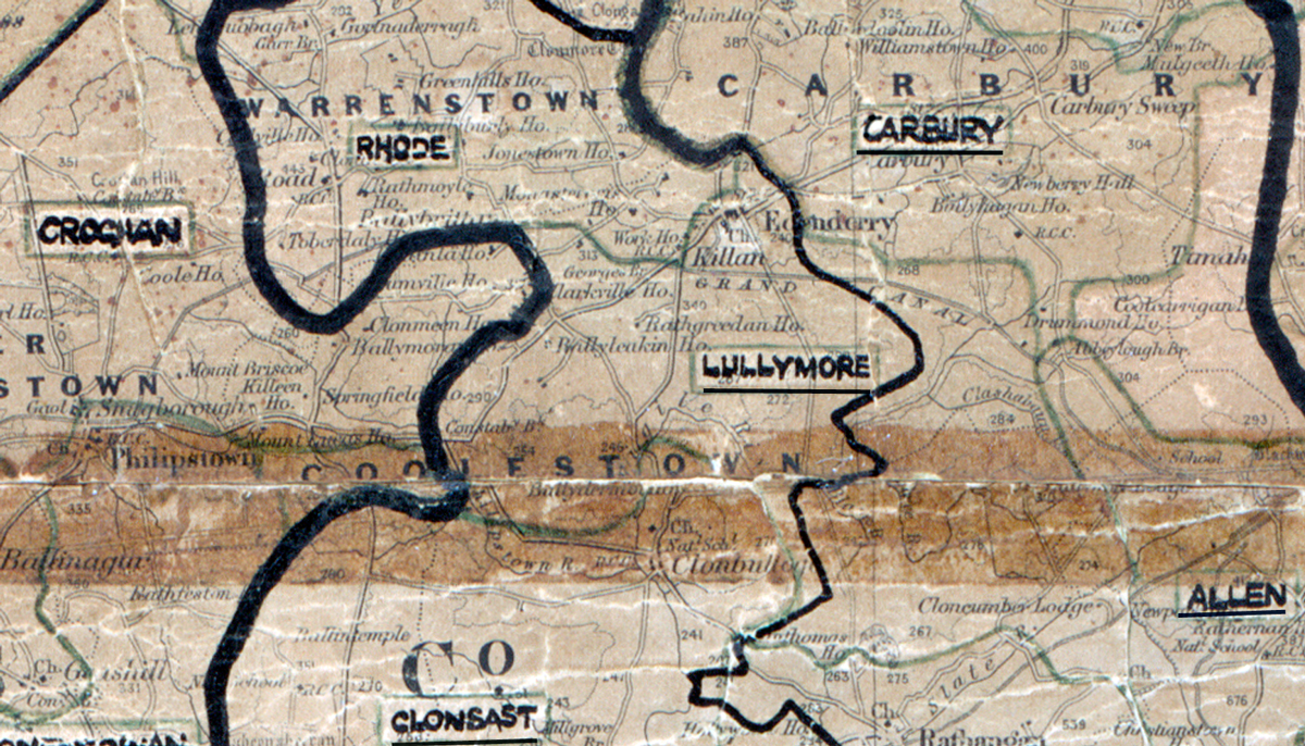
 Area: Lullymore
Started: December 1957
Finished: November 1958
Poles used: 701
Line used (km): 63
Premises connected: 225
The figures above were sourced from our REO News magazine, to learn more about what these figures mean, visit our interactive map. The map above shows the area boundary and is from a digitised version of the original map used during the scheme.
Lullymore was mentioned in The REO News from January 1959. This digital scan from the REO News displays the following text:
"Lullymore: Much of this 55 square mile area is occupied by Bord na Mona.” Labour was a difficult problem…. Approx. 70% of the 237 consumers installed outside lights… A successful switch‑on demonstration week helped sales to reach £1,450, among people who rely a lot on casual Bord na Mona employment."