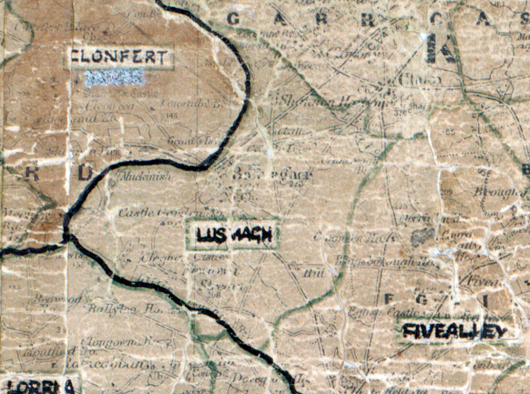
 Area: Lusmagh
Started: December 1947
Finished: September 1948
Poles used: 686
Line used (km): 59
Premises connected: 137
The figures above were sourced from our REO News magazine, to learn more about what these figures mean, visit our interactive map. The map above shows the area boundary and is from a digitised version of the original map used during the scheme.
Post development demonstrations were always well attended as reported in The REO News from June 1948
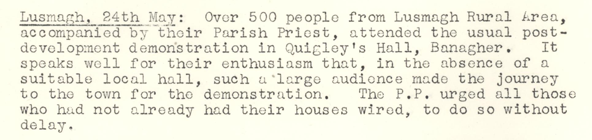 This digital scan from the REO News displays the following text:
"Lusmagh, 24th May: Over 500 people from Lusmagh Rural Area, accompanied by their Parish Priest, attended the usual post‑development demonstration in Quigley’s Hall, Banagher. It speaks well for their enthusiasm that, in the absence of a suitable local hall, such a large audience made the journey to the town for the demonstration. The P.P. urged all those who had not already had their houses wired, to do so without delay."
and it was not beyond local dignitaries to wax eloquently about the scheme as noted in The REO News from July 1948 This digital scan from the REO News displays the following text:
"“I have seen the rush candle used in the homes, and it is as logical for us to accept electricity as it was for our predecessors to accept the candle and lamp.” REV. FR. FAHY, P.P., LUSMAGH. 8th June 1948."