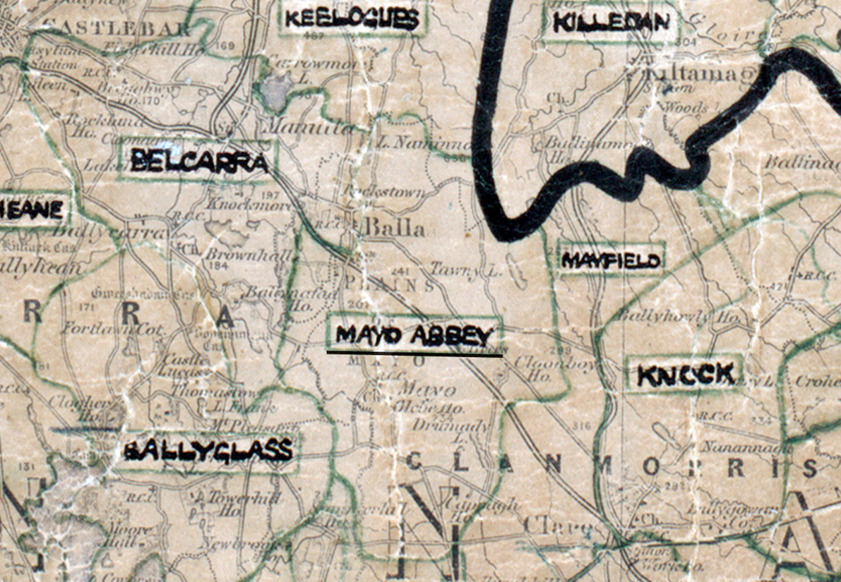
 Area: Mayo Abbey
Started: December 1955
Finished: June 1956
Poles used: 1406
Line used (km): 140
Premises connected: 122
The figures above were sourced from our REO News magazine, to learn more about what these figures mean, visit our interactive map. The map above shows the area boundary and is from a digitised version of the original map used during the scheme.
The cleanliness and versatility of electricity was stressed in Mayo Abbey according to The REO News from August 1956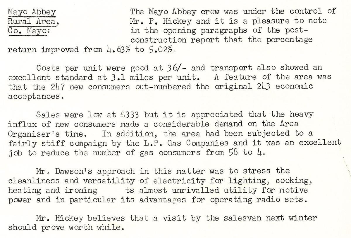
This digital scan from the REO News displays the following text:
"Mayo Abbey Rural Area, Co. Mayo:
The Mayo Abbey crew was under the control of Mr. P. Hickey and it is a pleasure to note in the opening paragraphs of the post‑ construction report that the percentage return improved from 4.63% to 5.02%.
Costs per unit were good at 36/‑ and transport also showed an excellent standard at 3.1 miles per unit. A feature of the area was that the 247 new consumers out‑numbered the original 243 economic acceptances.
Sales were low at £333 but it is appreciated that the heavy influx of new consumers made a considerable demand on the Area Organiser’s time. In addition, the area had been subjected to a fairly stiff campaign by the L.P. Gas Companies and it was an excellent job to reduce the number of gas consumers from 58 to 4.
Mr. Dawson’s approach in this matter was to stress the cleanliness and versatility of electricity for lighting, cooking, heating and ironing; its almost unrivalled utility for motive power and in particular its advantages for operating radio sets.
Mr. Hickey believes that a visit by the salesvan next winter should prove worth while."