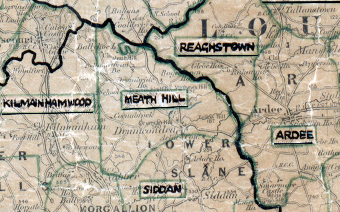
 Area: Meath Hill
Started: September 1955
Finished: March 1956
Poles used: 909
Line used (km): 78
Premises connected: 290
The figures above were sourced from our REO News magazine, to learn more about what these figures mean, visit our interactive map. The map above shows the area boundary and is from a digitised version of the original map used during the scheme.
There was some unexpected trouble in Meath Hill as reported in The REO News from September 1956.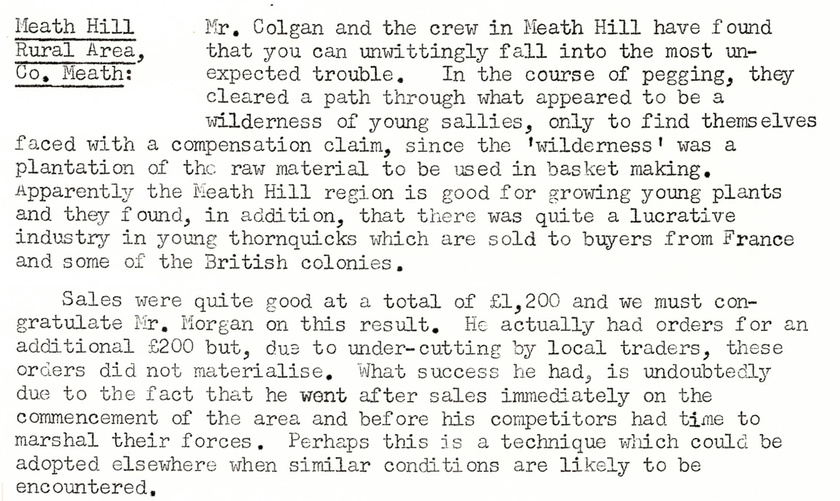 This digital scan from the REO News displays the following text:
"Meath Hill Rural Area, Co. Meath: Mr. Colgan and the crew in Meath Hill have found that you can unwittingly fall into the most unexpected trouble. In the course of pegging, they cleared a path through what appeared to be a wilderness of young sallies, only to find themselves faced with a compensation claim, since the ‘wilderness’ was a plantation of the raw material to be used in basket making. Apparently the Meath Hill region is good for growing young plants and they found, in addition, that there was quite a lucrative industry in young thornquicks which are sold to buyers from France and some of the British colonies.
Sales were quite good at a total of £1,200 and we must congratulate Mr. Morgan on this result. He actually had orders for an additional £200 but, due to under‑cutting by local traders, these orders did not materialise. What success he had, is undoubtedly due to the fact that he went after sales immediately on the commencement of the area and before his competitors had time to marshal their forces. Perhaps this is a technique which could be adopted elsewhere when similar conditions are likely to be encountered."