 Area: Midfield
Started: December 1954
Finished: November 1955
Poles used: 2131
Line used (km): 184
Premises connected: 670
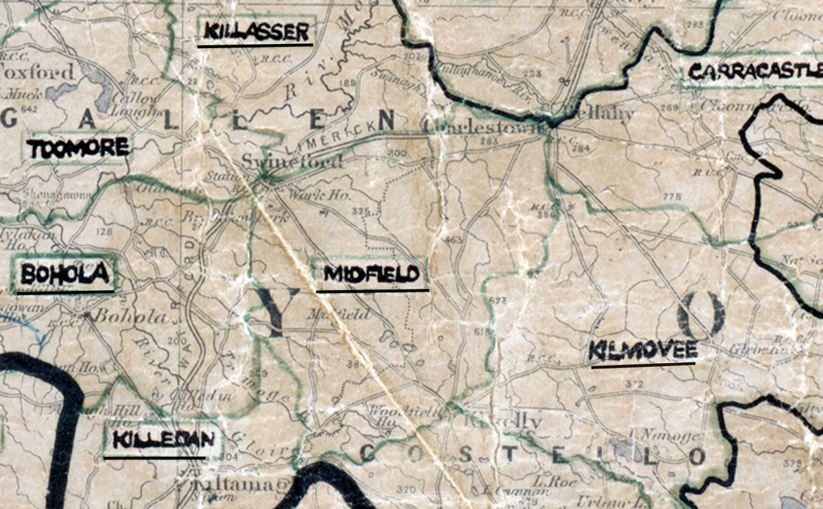
The figures above were sourced from our REO News magazine, to learn more about what these figures mean, visit our interactive map. The map above shows the area boundary and is from a digitised version of the original map used during the scheme.
Construction was generally easy in Midfield as reported in The REO News from January 1956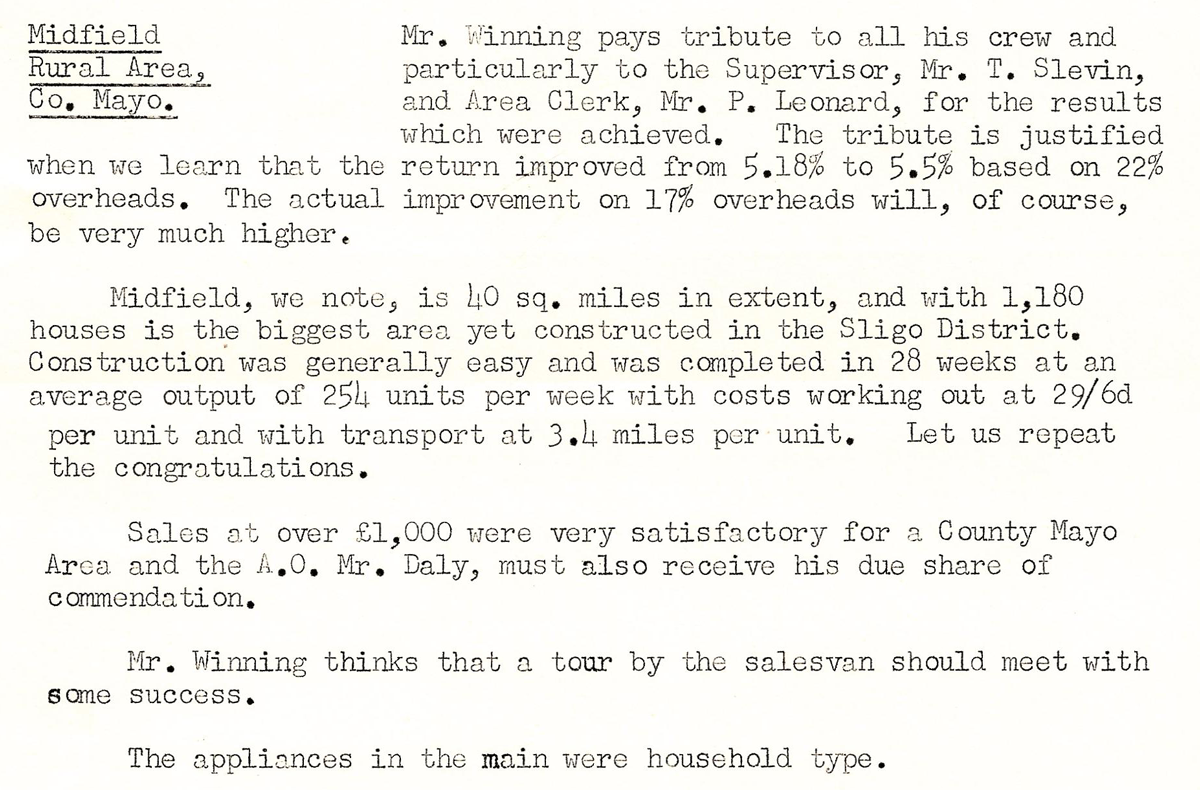 This digital scan from the REO News displays the following text:
"Midfield Rural Area, Co. Mayo.
Mr. Winning pays tribute to all his crew and particularly to the Supervisor, Mr. T. Slevin, and Area Clerk, Mr. P. Leonard, for the results which were achieved. The tribute is justified when we learn that the return improved from 5.18% to 5.5% based on 22% overheads. The actual improvement on 17% overheads will, of course, be very much higher.
Midfield, we note, is 40 sq. miles in extent, and with 1,180 houses is the biggest area yet constructed in the Sligo District. Construction was generally easy and was completed in 28 weeks at an average output of 254 units per week with costs working out at 29/6d per unit and with transport at 3.4 miles per unit. Let us repeat the congratulations.
Sales at over £1,000 were very satisfactory for a County Mayo Area and the A.O. Mr. Daly, must also receive his due share of commendation.
Mr. Winning thinks that a tour by the salesvan should meet with some success.
The appliances in the main were household type."