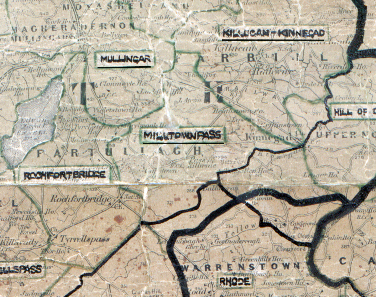
 Area: Milltown
Started: December 1955
Finished: July 1956
Poles used: 1396
Line used (km): 115
Premises connected: 237
The figures above were sourced from our REO News magazine, to learn more about what these figures mean, visit our interactive map. The map above shows the area boundary and is from a digitised version of the original map used during the scheme.
Sales were good in Milltown according to The REO News from November 1956.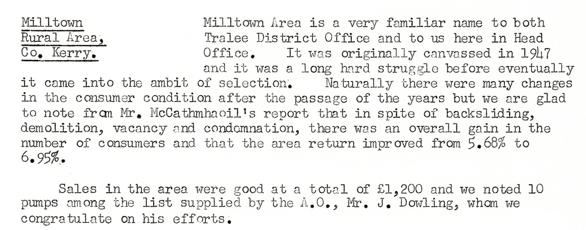 This digital scan from the REO News displays the following text:
"Milltown Rural Area, Co. Kerry: Milltown Area is a very familiar name to both Tralee District Office and to us here in Head Office. It was originally canvassed in 1947 and it was a long hard struggle before eventually it came into the ambit of selection. Naturally there were many changes in the consumer condition after the passage of the years but we are glad to note from Mr. McCathmhaoil’s report that in spite of backsliding, demolition, vacancy and condemnation, there was an overall gain in the number of consumers and that the area return improved from 5.68% to 6.95%.
Sales in the area were good at a total of £1,200 and we noted 10 pumps among the list supplied by the A.O., Mr. J. Dowling, whom we congratulate on his efforts."