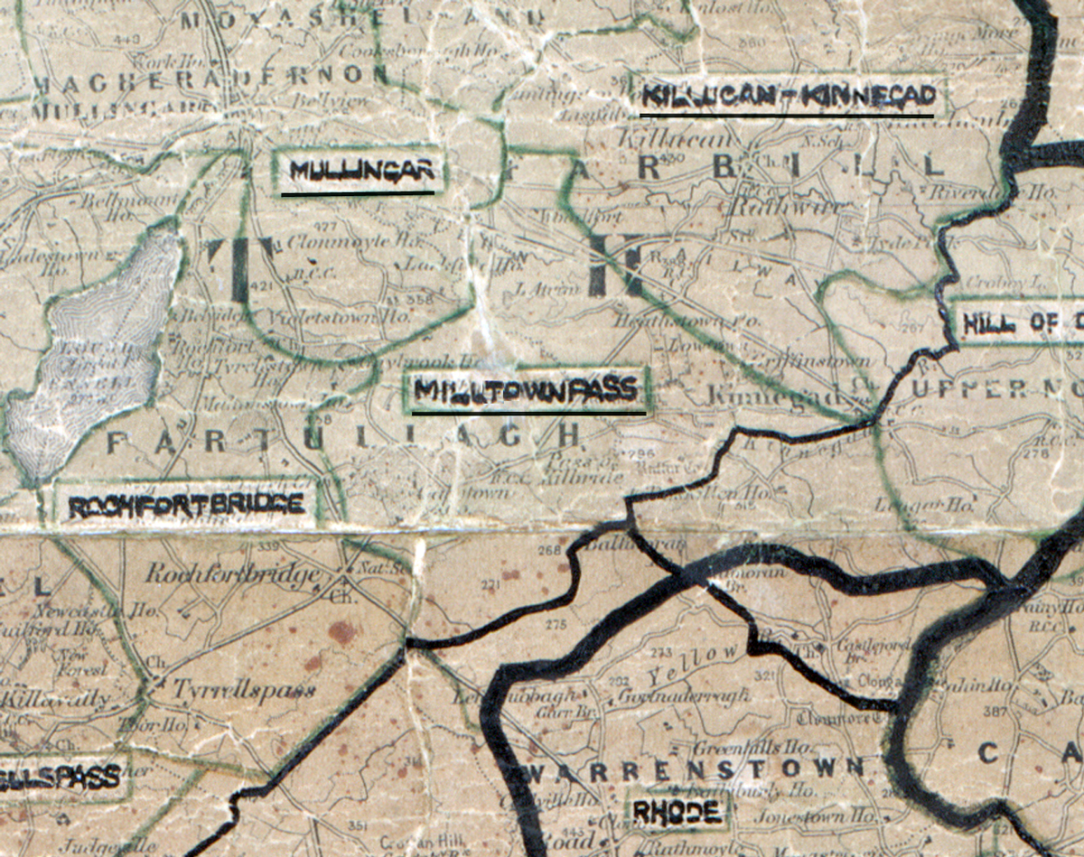
 Area: Milltownpass
Started: September 1955
Finished: February 1956
Poles used: 1290
Line used (km): 115
Premises connected: 324
The figures above were sourced from our REO News magazine, to learn more about what these figures mean, visit our interactive map. The map above shows the area boundary and is from a digitised version of the original map used during the scheme.
Sales were good in Milltownpass according to The REO News from May 1956
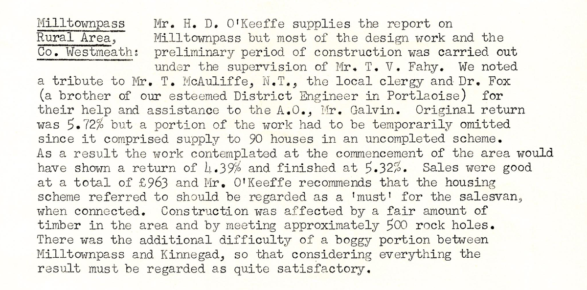 This digital scan from the REO News displays the following text:
"Milltownpass Rural Area, Co. Westmeath:
Mr. H. D. O’Keeffe supplies the report on Milltownpass but most of the design work and the preliminary period of construction was carried out under the supervision of Mr. T. V. Fahy. We noted a tribute to Mr. T. McAuliffe, N.T., the local clergy and Dr. Fox (a brother of our esteemed District Engineer in Portlaoise) for their help and assistance to the A.O., Mr. Galvin. Original return was 5.72% but a portion of the work had to be temporarily omitted since it comprised supply to 90 houses in an uncompleted scheme. As a result the work contemplated at the commencement of the area would have shown a return of 4.39% and finished at 5.32%. Sales were good at a total of £963. Mr. O’Keeffe recommends that the housing scheme referred to should be regarded as a “must” for the salesvan when connected. Construction was affected by a fair amount of timber in the area and by meeting approximately 500 rock holes. There was the additional difficulty of a boggy portion between Milltownpass and Kinnegad, so that considering everything the result must be regarded as quite satisfactory."