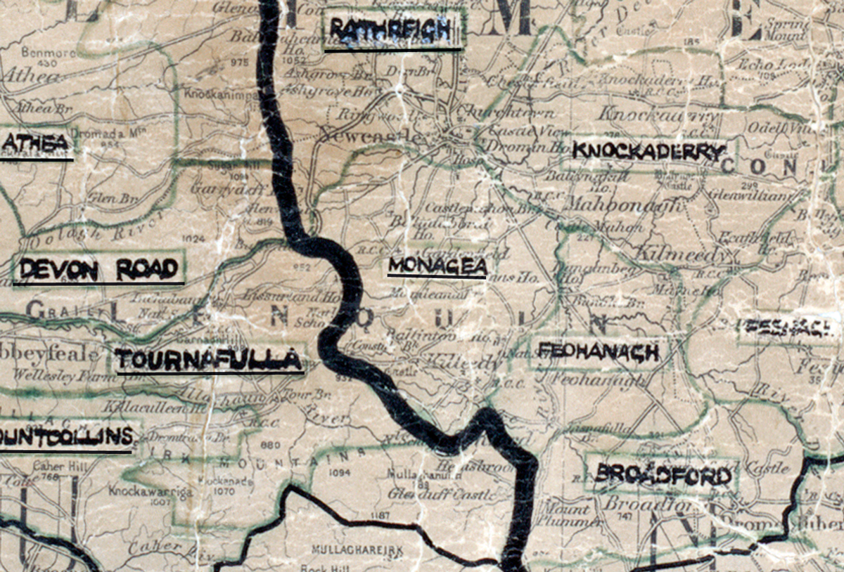
 Area: Monagea
Started: April 1950
Finished: March 1951
Poles used: 1367
Line used (km): 106
Premises connected: 381
The figures above were sourced from our REO News magazine, to learn more about what these figures mean, visit our interactive map. The map above shows the area boundary and is from a digitised version of the original map used during the scheme.
Sales in Monagea were excellent according to The REO News from April 1951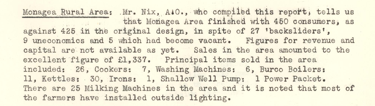 This digital scan from the REO News displays the following text:
"Monagea Rural Area: Mr. Nix, A.O., who compiled this report, tells us that Monagea Area finished with 450 consumers, as against 425 in the original design, in spite of 27 ‘backsliders’, 9 uneconomics and 5 which had become vacant. Figures for revenue and capital are not available as yet. Sales in the area amounted to the excellent figure of £1,337. Principal items sold in the area included: 26 Cookers; 7 Washing Machines; 6 Burco Boilers; 11 Kettles; 30 Irons; 1 Shallow Well Pump; 1 Power Packet. There are 25 Milking Machines in the area and it is noted that most of the farmers have installed outside lighting."