 Area: Monagear
Started: April 1955
Finished: August 1955
Poles used: 924
Line used (km): 83
Premises connected: 176
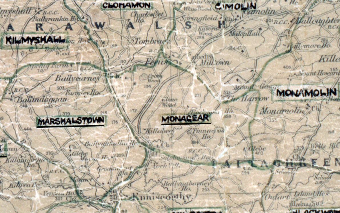
The figures above were sourced from our REO News magazine, to learn more about what these figures mean, visit our interactive map. The map above shows the area boundary and is from a digitised version of the original map used during the scheme.
Sales in Monagear were good according to The REO News from January 1956
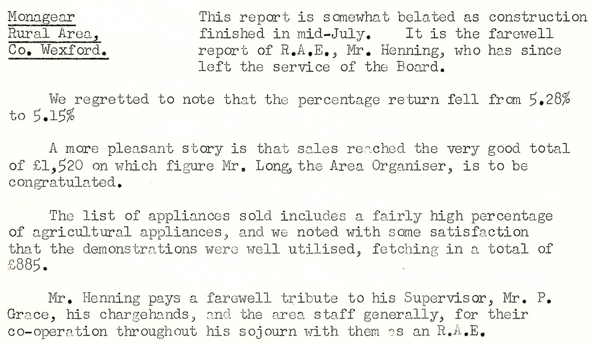 This digital scan from the REO News displays the following text:
"Monageer Rural Area, Co. Wexford: This report is somewhat belated as construction finished in mid‑July. It is the farewell report of R.A.E., Mr. Henning, who has since left the service of the Board.
We regretted to note that the percentage return fell from 5.28% to 5.15%.
A more pleasant story is that sales reached the very good total of £1,520 on which figure Mr. Long, the Area Organiser, is to be congratulated.
The list of appliances sold includes a fairly high percentage of agricultural appliances, and we noted with some satisfaction that the demonstrations were well utilised, fetching in a total of £885.
Mr. Henning pays a farewell tribute to his Supervisor, Mr. P. Grace, his chargehands, and the area staff generally, for their co‑operation throughout his sojourn with them as an R.A.E."