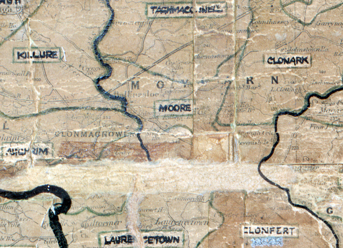
 Area: Moore
Started: April 1949
Finished: June 1949
Poles used: 387
Line used (km): 34
Premises connected: 138
The figures above were sourced from our REO News magazine, to learn more about what these figures mean, visit our interactive map. The map above shows the area boundary and is from a digitised version of the original map used during the scheme.
The sales van was busy in Moore according to The REO News from August 1950.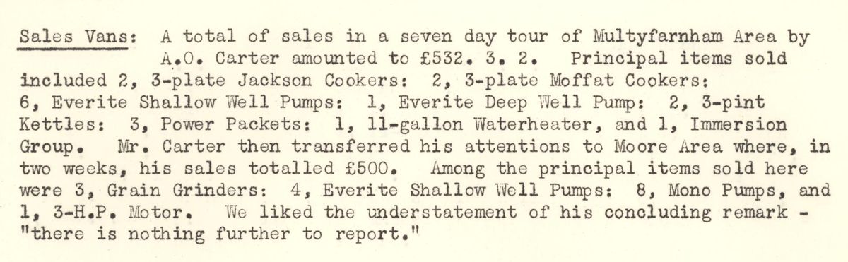 This digital scan from the REO News displays the following text:
"Sales Vans: A total of sales in a seven day tour of Multyfarnham Area by A.O. Carter amounted to £532. 3. 2. Principal items sold included 2, 3‑plate Jackson Cookers; 2, 3‑plate Moffat Cookers; 6, Everite Shallow Well Pumps; 1, Everite Deep Well Pump; 2, 3‑pint Kettles; 3, Power Packets; 1, 11‑gallon Waterheater, and 1, Immersion Group. Mr. Carter then transferred his attentions to Moore Area where, in two weeks, his sales totalled £500. Among the principal items sold here were 3, Grain Grinders; 4, Everite Shallow Well Pumps; 8, Mono Pumps, and 1, 3‑H.P. Motor. We liked the understatement of his concluding remark — “there is nothing further to report.”