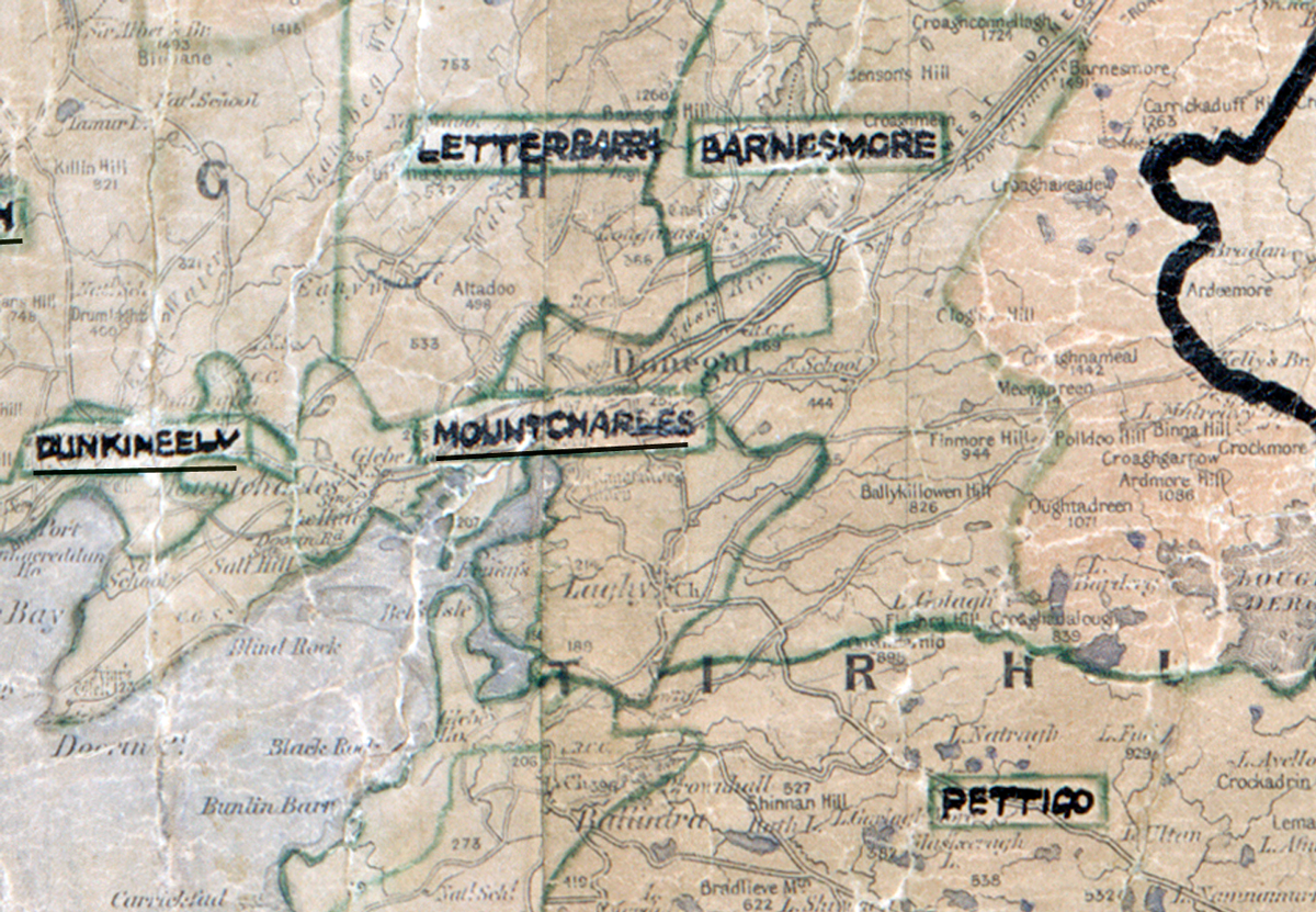
 Area: Mountcharles
Started: August 1950
Finished: May 1951
Poles used: 880
Line used (km): 721
Premises connected: 160
The figures above were sourced from our REO News magazine, to learn more about what these figures mean, visit our interactive map. The map above shows the area boundary and is from a digitised version of the original map used during the scheme.
Bad weather caused some problems in Mountcharles according to The REO News from August 1951
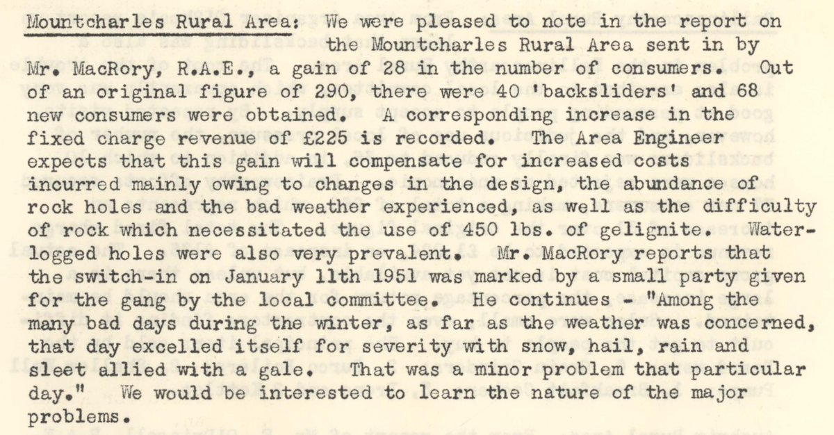 This digital scan from the REO News displays the following text:
"Mountcharles Rural Area:
We were pleased to note in the report on the Mountcharles Rural Area sent in by Mr. MacRory, R.A.E., a gain of 28 in the number of consumers. Out of an original figure of 290, there were 40 “backsliders” and 68 new consumers were obtained. A corresponding increase in the fixed charge revenue of £225 is recorded. The Area Engineer expects that this gain will compensate for increased costs incurred mainly owing to changes in the design, the abundance of rock holes and the bad weather experienced, as well as the difficulty of rock which necessitated the use of 450 lbs. of gelignite. Water‑logged holes were also very prevalent. Mr. MacRory reports that the switch‑in on January 11th 1951 was marked by a small party given for the gangs by the local committee. He continues—“Among the many bad days during the winter, as far as the weather was concerned, that day excelled itself for severity with snow, hail, rain and sleet allied with a gale. That was a minor problem that particular day.” We would be interested to learn the nature of the major problems."