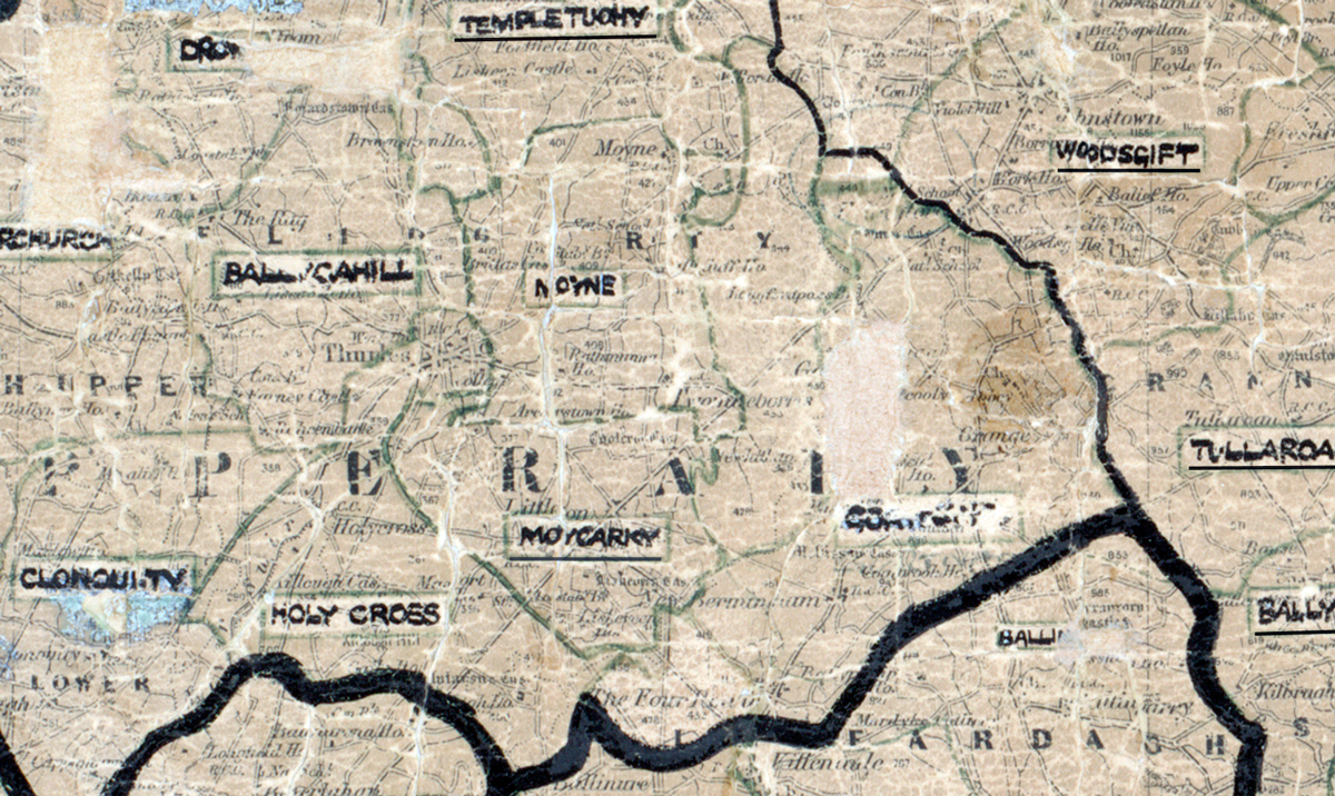
 Area: Moycarky
Started: April 1950
Finished: November 1950
Poles used: 717
Line used (km): 63
Premises connected: 110
The figures above were sourced from our REO News magazine, to learn more about what these figures mean, visit our interactive map. The map above shows the area boundary and is from a digitised version of the original map used during the scheme.
The REO News from January 1951 reports that the number of backsliders in Moycarky was not very encouraging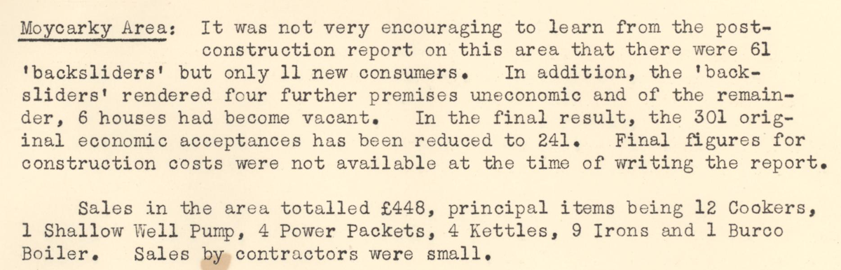 This digital scan from the REO News displays the following text:
"Moycarky Area: It was not very encouraging to learn from the post‑construction report on this area that there were 61 “backsliders” but only 11 new consumers. In addition, the “backsliders” rendered four further premises uneconomic and of the remainder, 6 houses had become vacant. In the final result, the 301 original economic acceptances has been reduced to 241. Final figures for construction costs were not available at the time of writing the report.
Sales in the area totalled £448, principal items being 12 Cookers, 1 Shallow Well Pump, 4 Power Packets, 4 Kettles, 9 Irons and 1 Burco Boiler. Sales by contractors were small."