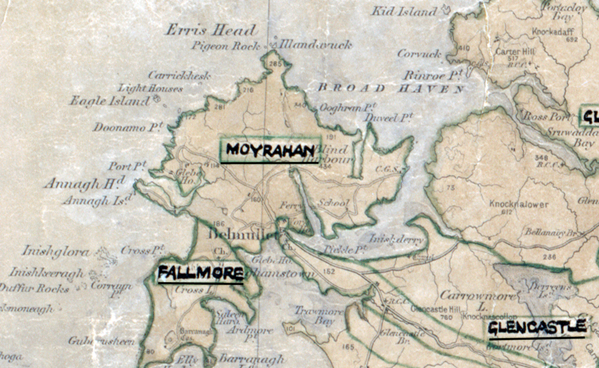
 Area: Moyrahan
Started: May 1958
Finished: August 1958
Poles used: 200
Line used (km): 16
Premises connected: not recorded
The figures above were sourced from our REO News magazine, to learn more about what these figures mean, visit our interactive map. The map above shows the area boundary and is from a digitised version of the original map used during the scheme.
The REO News from January 1959 mentions Moyrahan This digital scan from the REO News displays the following text:
"Moyrahan & Fallmore:
Summer migration to England for work is the usual course for many in this area…. Irish is the spoken language in some parts…. Sales (£345) reflect the trend of incomes. Local turf is cheap, so cookers don’t sell very well. A salesvan could do useful work later."