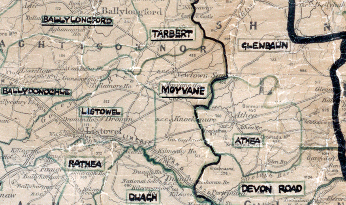
 Area: Moyvane
Started: July 1956
Finished: July 1957
Poles used: 1117
Line used (km): 92
Premises connected: 327
The figures above were sourced from our REO News magazine, to learn more about what these figures mean, visit our interactive map. The map above shows the area boundary and is from a digitised version of the original map used during the scheme.
Moyvane got a brief mention in The REO News from August 1957. This digital scan from the REO News displays the following text:
"In the Moyvane Area, Co. Kerry, Mr. W. Ryan, R.A.E. had an unusual amount of bog, water, shelter belts, and hilly country to deal with. To add to his difficulties the violent storm of last January came along to cause some disruption to newly erected lines."