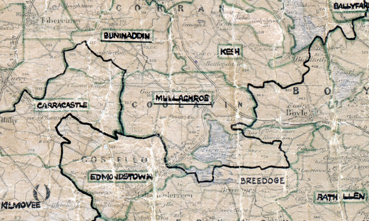
 Area: Mullaghroe
Started: December 1954
Finished: August 1955
Poles used: 1712
Line used (km): 144
Premises connected: 539
The figures above were sourced from our REO News magazine, to learn more about what these figures mean, visit our interactive map. The map above shows the area boundary and is from a digitised version of the original map used during the scheme.
Sales in Mullaghroe were not great according to The REO News from November 1955.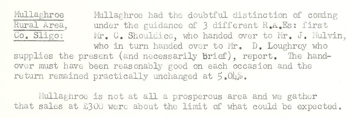 This digital scan from the REO News displays the following text:
"Mullaghroe Rural Area, Co. Sligo: Mullaghroe had the doubtful distinction of coming under the guidance of 3 different R.A.E.s: first Mr. C. Shouldice, who handed over to Mr. J. Mulvin, who in turn handed over to Mr. D. Loughrey who supplies the present (and necessarily brief), report. The hand‑over must have been reasonably good on each occasion and the return remained practically unchanged at 5.04%.
Mullaghroe is not at all a prosperous area and we gather that sales at £300 were about the limit of what could be expected."