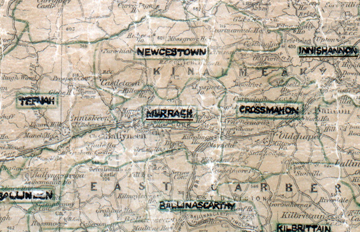
 Area: Murragh
Started: December 1955
Finished: June 1956
Poles used: 965
Line used (km): 88
Premises connected: 112
The figures above were sourced from our REO News magazine, to learn more about what these figures mean, visit our rural map explanation page. The map above shows the area boundary and is from a digitised version of the original map used during the scheme.
The report on Murragh in The REO News from August 1956 was not very cheerful.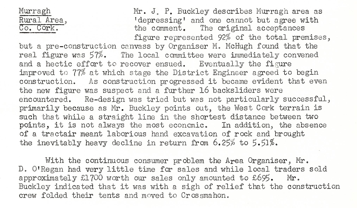 This digital scan from the REO News displays the following text:
"Murragh Rural Area,Co. Cork: Mr. J. P. Buckley describes Murragh area as ‘depressing’ and one cannot but agree with the comment. The original acceptances figure represented 92% of the total premises, but a pre‑construction canvass by Organiser M. McHugh found that the real figure was 57%. The local committee were immediately convened and a hectic effort to recover ensued. Eventually the figure improved to 77% at which stage the District Engineer agreed to begin construction. As construction progressed it became evident that even the new figure was suspect and a further 16 backsliders were encountered. Re‑design was tried but was not particularly successful, primarily because as Mr. Buckley points out, the West Cork terrain is such that while a straight line in the shortest distance between two points, it is not always the most economic. In addition, the absence of a tractair meant laborious hand excavation of rock and brought the inevitably heavy decline in return from 6.25% to 5.51%.
With the continuous consumer problem the Area Organiser, Mr. D. O’Regan had very little time for sales and while local traders sold approximately £1700 worth our sales only amounted to £695. Mr. Buckley indicated that it was with a sigh of relief that the construction crew folded their tents and moved to Crossmahon."