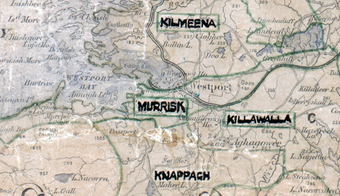
 Area: Murrisk
Started: December 1947
Finished: September 1948
Poles used: 671
Line used (km): 51
Premises connected: 160
The figures above were sourced from our REO News magazine, to learn more about what these figures mean, visit our interactive map. The map above shows the area boundary and is from a digitised version of the original map used during the scheme.
Politicians were always keen to extol the benefits of the scheme as reported in The REO News from July 1948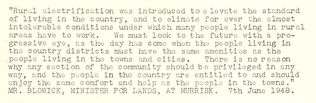 This digital scan from the REO News displays the following text:
"“Rural electrification was introduced to elevate the standard of living in the country, and to eliminate for ever the almost intolerable conditions under which many people living in rural areas have to work. We must look to the future with a progressive eye, as the day has come when the people living in the country districts must have the same amenities as the people living in the towns and cities. There is no reason why any section of the community should be privileged in any way, and the people in the country are entitled to and should enjoy the same comfort and help as the people in the towns.”
MR. BLOWICK, MINISTER FOR LANDS, AT MURRISK. 7th June 1948."