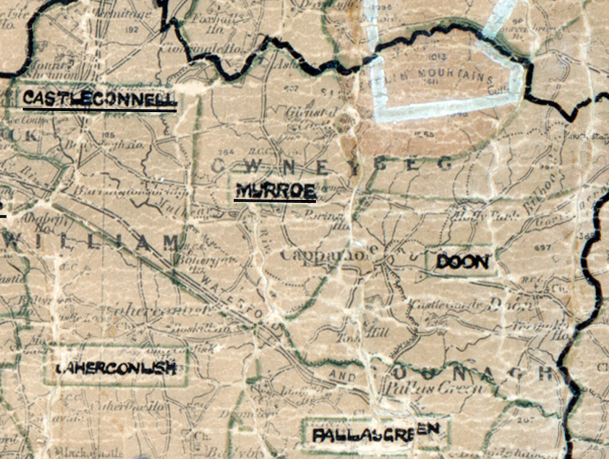
 Area: Murroe
Started: August 1950
Finished: June 1951
Poles used: 867
Line used (km): 80
Premises connected: 160
The figures above were sourced from our REO News magazine, to learn more about what these figures mean, visit our interactive map. The map above shows the area boundary and is from a digitised version of the original map used during the scheme.
The Murroe crew was complimented in The REO News from August 1951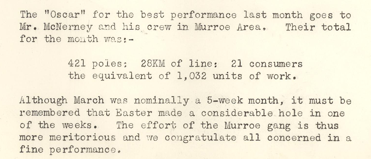 This digital scan from the REO News displays the following text:
"The “Oscar” for the best performance last month goes to Mr. McNerney and his crew in Murroe Area. Their total for the month was:—
421 poles; 28KM of line; 21 consumers the equivalent of 1,032 units of work.
Although March was nominally a 5‑week month, it must be remembered that Easter made a considerable hole in one of the weeks. The effort of the Murroe gang is thus more meritorious and we congratulate all concerned in a fine performance."