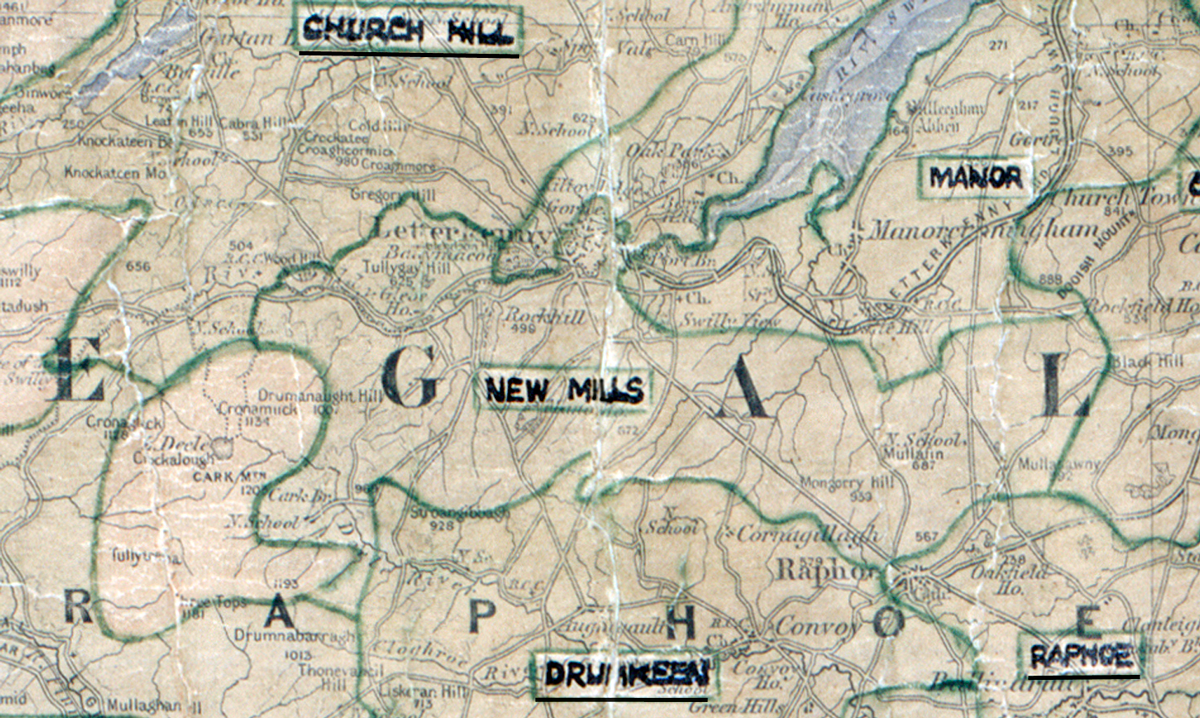
 Area: New Mills
Started: July 1956
Finished: May 1957
Poles used: 587
Line used (km): 54
Premises connected: 169
The figures above were sourced from our REO News magazine, to learn more about what these figures mean, visit our interactive map page. The map above shows the area boundary and is from a digitised version of the original map used during the scheme.
The REO News from July 1957 reports that sales were bad in New Mills due to some stiff competition.
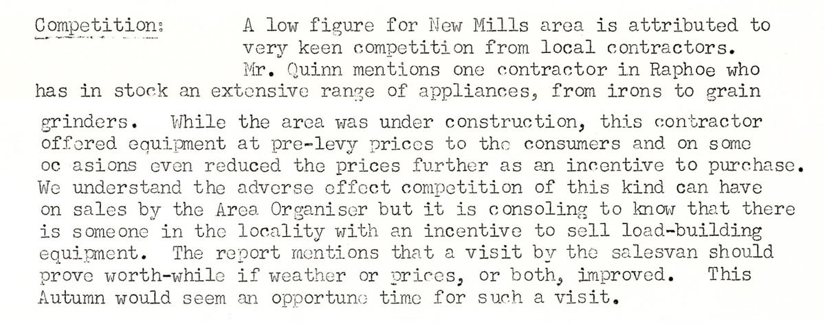 This digital scan from the REO News displays the following text:
"Competition: A low figure for New Mills area is attributed to very keen competition from local contractors. Mr. Quinn mentions one contractor in Raphoe who has in stock an extensive range of appliances, from irons to grain grinders. While the area was under construction, this contractor offered equipment at pre‑levy prices to the consumers and on some occasions even reduced the prices further as an incentive to purchase. We understand the adverse effect competition of this kind can have on sales by the Area Organiser but it is consoling to know that there is someone in the locality with an incentive to sell load‑building equipment. The report mentions that a visit by the salesvan should prove worth‑while if weather or prices, or both, improved. This Autumn would seem an opportune time for such a visit."