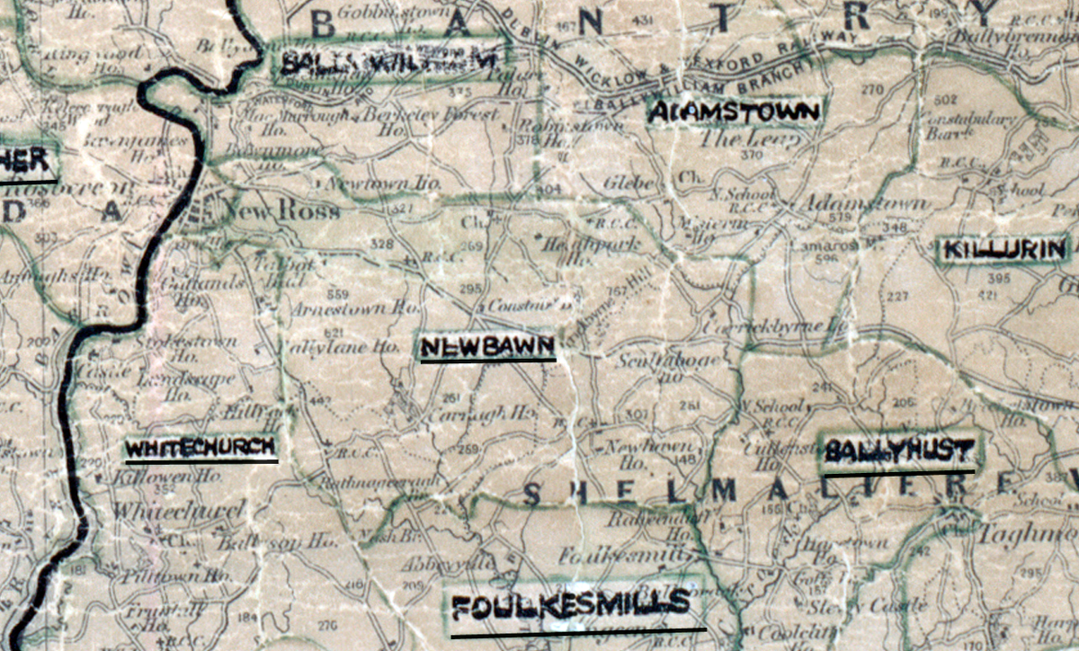
 Area: Newbawn
Started: April 1955
Finished: September 1955
Poles used: 1267
Line used (km): 116
Premises connected: 246
The figures above were sourced from our REO News magazine, to learn more about what these figures mean, visit our interactive map. The map above shows the area boundary and is from a digitised version of the original map used during the scheme.
Trees presented the main construction difficulty in Newbawn according to The REO News from January 1956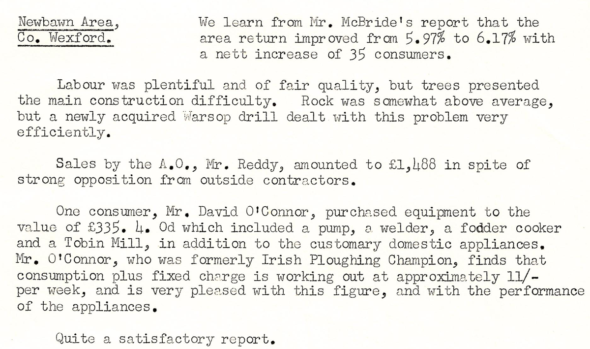 This digital scan from the REO News displays the following text:
"Newbawn Area, Co. Wexford. We learn from Mr. McBride’s report that the area return improved from 5.97% to 6.17% with a nett increase of 35 consumers.
Labour was plentiful and of fair quality, but trees presented the main construction difficulty. Rock was somewhat above average, but a newly acquired Warsop drill dealt with this problem very efficiently.
Sales by the A.O., Mr. Reddy, amounted to £1,488 in spite of strong opposition from outside contractors.
One consumer, Mr. David O’Connor, purchased equipment to the value of £335 4s. 0d. which included a pump, a welder, a fodder cooker and a Tobin Mill, in addition to the customary domestic appliances. Mr. O’Connor, who was formerly Irish Ploughing Champion, finds that consumption plus fixed charge is working out at approximately 11/‑ per week, and is very pleased with this figure, and with the performance of the appliances.
Quite a satisfactory report."