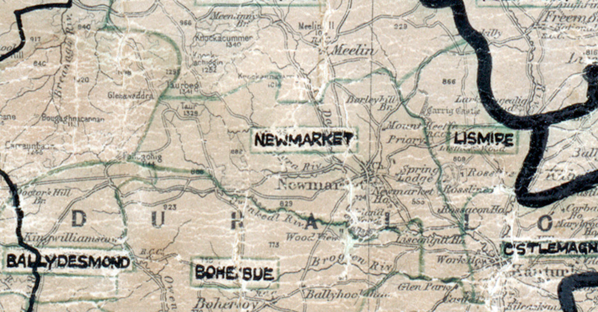
 Area: Newmarket
Started: December 1955
Finished: June 1956
Poles used: 1333
Line used (km): 103
Premises connected: 38
The figures above were sourced from our REO News magazine, to learn more about what these figures mean, visit our interactive map. The map above shows the area boundary and is from a digitised version of the original map used during the scheme.
Sales in Newmarket were medium according to The REO News from August 1956.
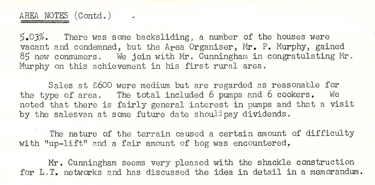 This digital scan from the REO News displays the following text:
"Newmarket Rural Area, Co. Cork: We are happy to be able to congratulate Mr. E. L. Cunningham and his crew in Newmarket on improving the area return from 4.49% to"
This digital scan from the REO News displays the following text:
"AREA NOTES (Contd.)
5.03%. There was some backsliding, a number of the houses were vacant and condemned, but the Area Organiser, Mr. P. Murphy, gained 85 new consumers. We join with Mr. Cunningham in congratulating Mr. Murphy on this achievement in his first rural area.
Sales at £600 were medium but are regarded as reasonable for the type of area. The total included 6 pumps and 6 cookers. We noted that there is fairly general interest in pumps and that a visit by the salesman at some future date should pay dividends.
The nature of the terrain caused a certain amount of difficulty with “up‑lift” and a fair amount of bog was encountered.
Mr. Cunningham seems very pleased with the shackle construction for L.T. networks and has discussed the idea in detail in a memorandum."