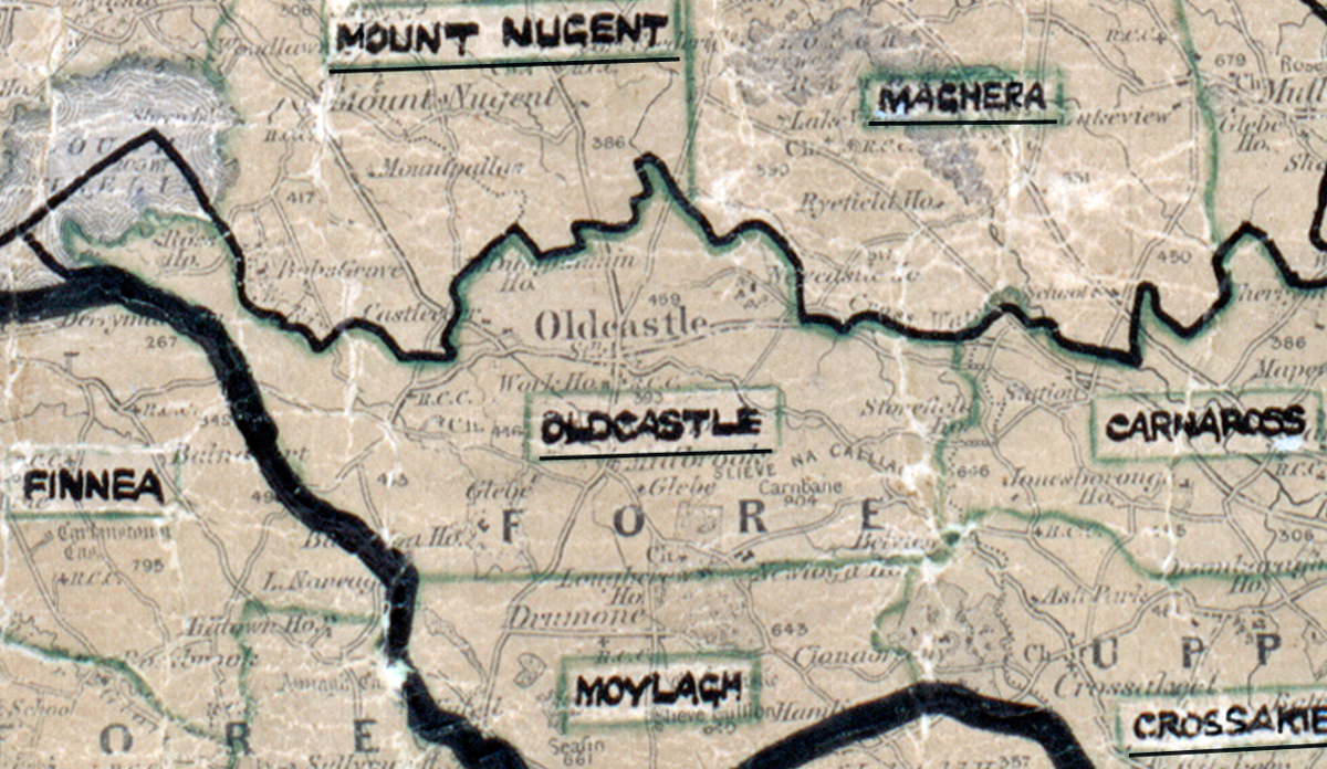
 Area: Oldcastle
Started: August 1954
Finished: June 1955
Poles used: 1436
Line used (km): 125
Premises connected: 413
The figures above were sourced from our REO News magazine, to learn more about
what these figures mean, visit our interactive map. The map above shows the area boundary and is from a
digitised version of the original
map used during the scheme.
Winter storms caused delays in Oldcastle according to The REO News July 1955.
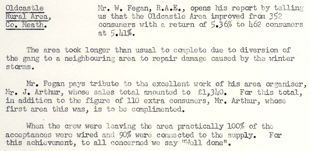 This digital scan from the REO News displays the following text:
"Oldcastle Rural Area, Co. Meath: Mr. W. Fegan, R.A.E., opens his report by telling us that the Oldcastle Area improved from 352 consumers with a return of 5.36% to 462 consumers at 5.41%.
The area took longer than usual to complete due to diversion of the gang to a neighbouring area to repair damage caused by the winter storms.
Mr. Fegan pays tribute to the excellent work of his area organiser, Mr. J. Arthur, whose sales total amounted to £1,340. For this total, in addition to the figure of 110 extra consumers, Mr. Arthur, whose first area this was, is to be complimented.
When the crew were leaving the area practically 100% of the acceptances were wired and 90% were connected to the supply. For this achievement, to all concerned we say “Well done”.