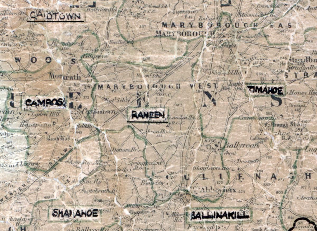
 Area: Raheen
Started: January 1953
Finished: April 1954
Poles used: 1195
Line used (km): 109
Premises connected: 171
The figures above were sourced from our REO News magazine, to learn more about what these figures mean, visit our interactive map. The map above shows the area boundary and is from a digitised version of the original map used during the scheme.
An update on Raheen was given in The REO News from July 1954.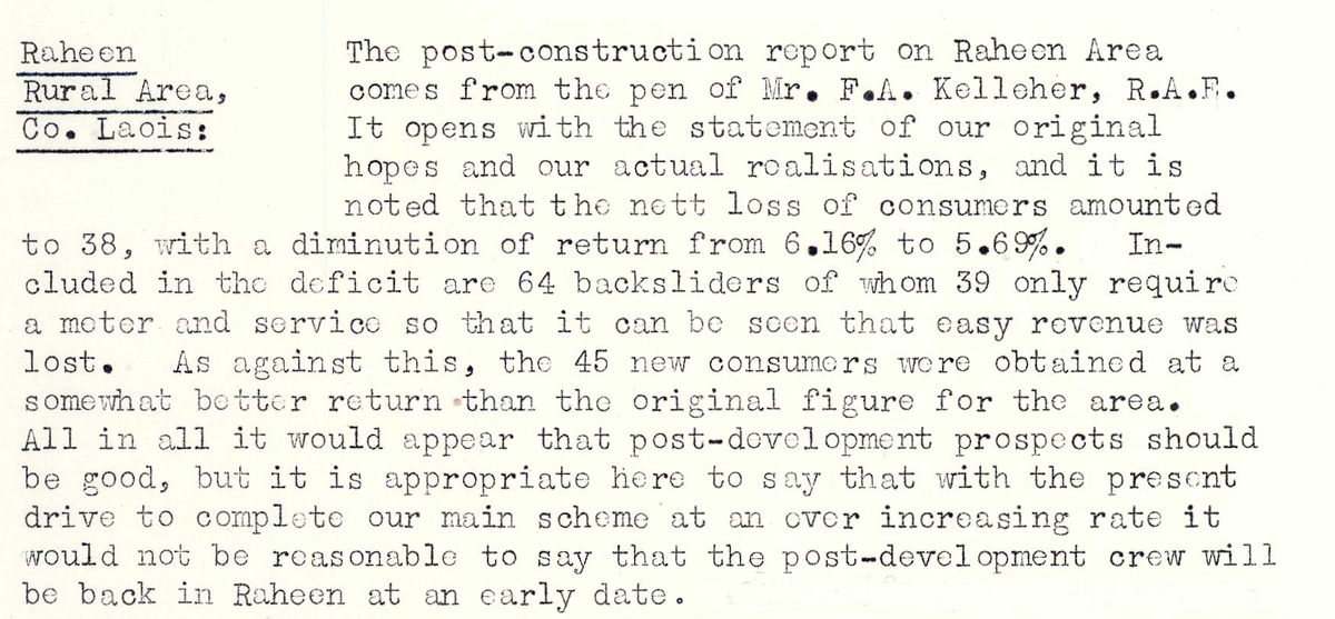 This digital scan from the REO News displays the following text:
"Raheen Rural Area, Co. Laois: The post‑construction report on Raheen Area comes from the pen of Mr. F. A. Kelleher, R.A.F. It opens with the statement of our original hopes and our actual realisations, and it is noted that the nett loss of consumers amounted to 38, with a diminution of return from 6.16% to 5.69%. Included in the deficit are 64 backsliders of whom 39 only require a meter and service so that it can be seen that easy revenue was lost. As against this, the 45 new consumers were obtained at a somewhat better return than the original figure for the area. All in all it would appear that post‑development prospects should be good, but it is appropriate here to say that with the present drive to complete our main scheme at an ever increasing rate it would not be reasonable to say that the post‑development crew will be back in Raheen at an early date."