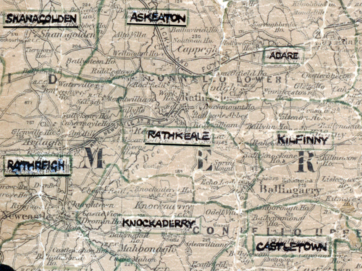
 Area: Rathkeale
Started: April 1950
Finished: October 1950
Poles used: 599
Line used (km): 56
Premises connected: 141
The figures above were sourced from our REO News magazine, to learn more about what these figures mean, visit our interactive map. The map above shows the area boundary and is from a digitised version of the original map used during the scheme.
The REO News from November 1950 tells us that the report on Rathkeale was a model of information.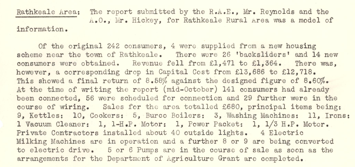
This digital scan from the REO News displays the following text:
"Rathkeale Area: The report submitted by the R.A.E., Mr. Reynolds and the A.O., Mr. Hickey, for Rathkeale Rural Area was a model of information.
Of the original 242 consumers, 4 were supplied from a new housing scheme near the town of Rathkeale. There were 26 “backsliders” and 14 new consumers were obtained. Revenue fell from £1,471 to £1,364. There was, however, a corresponding drop in Capital Cost from £13,686 to £12,718. This showed a final return of 8.58% against the designed figure of 8.60%. At the time of writing the report (mid‑October) 141 consumers had already been connected, 56 were scheduled for connection and 29 further were in the course of wiring. Sales for the area totalled £680, principal items being: 9 Kettles; 10 Cookers; 5 Burco Boilers; 3 Washing Machines; 11 Irons; 1 Vacuum Cleaner; 1 1‑H.P. Motor; 1 Power Packet; 1 1/3 H.P. Motor.
Private Contractors installed about 40 outside lights. 4 Electric Milking Machines are in operation and a further 8 or 9 are being converted to electric drive. 5 or 6 Pumps are in the course of sale as soon as the arrangements for the Department of Agriculture Grant are completed."