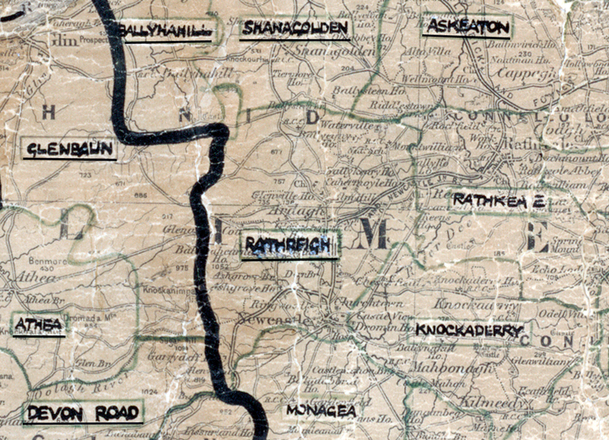
 Area: Rathreigh
Started: December 1955
Finished: November 1956
Poles used: 1637
Line used (km): 141
Premises connected: 454
The figures above were sourced from our REO News magazine. Click interactive mapto find out more on what the figures mean. The map above shows the area boundary and is from a digitised version of the original map used during the scheme.
The REO News from February 1957 tells us that over 80% of the houses in Rathreigh were connected.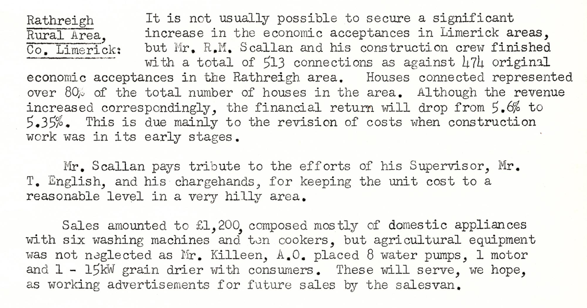
This digital scan from the REO News displays the following text:
"Rathreigh Rural Area, Co. Limerick: It is not usually possible to secure a significant increase in the economic acceptances in Limerick areas, but Mr. R. M. Scallan and his construction crew finished with a total of 513 connections as against 474 original economic acceptances in the Rathreigh area. Houses connected represented over 80% of the total number of houses in the area. Although the revenue increased correspondingly, the financial return will drop from 5.6% to 5.35%. This is due mainly to the revision of costs when construction work was in its early stages.
Mr. Scallan pays tribute to the efforts of his Supervisor, Mr. T. English, and his chargehands, for keeping the unit cost to a reasonable level in a very hilly area.
Sales amounted to £1,200, composed mostly of domestic appliances with six washing machines and ten cookers, but agricultural equipment was not neglected as Mr. Killeen, A.O. placed 8 water pumps, 1 motor and 1 15 kW grain drier with consumers. These will serve, we hope, as working advertisements for future sales by the salesvan."