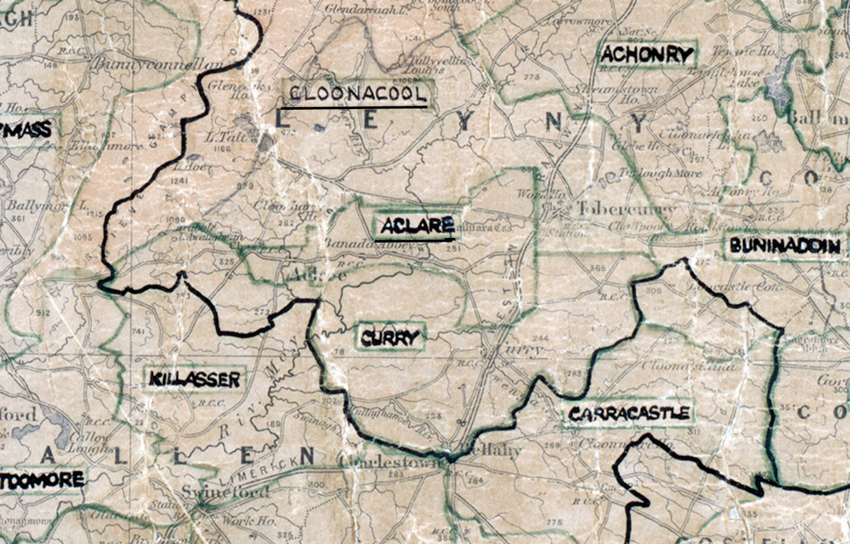
 Area: Aclare
Started: August 1950
Finished: August 1951
Poles used: 527
Line used (km): 46
Premises connected: not recorded
The figures above were sourced from our REO News magazine, to learn more about what these figures mean, visit our Interactive map. The map above shows the area boundary and is from a digitised version of the original map used during the scheme.
The shortage of labour was a problem in Aclare according to The REO News from October 1951
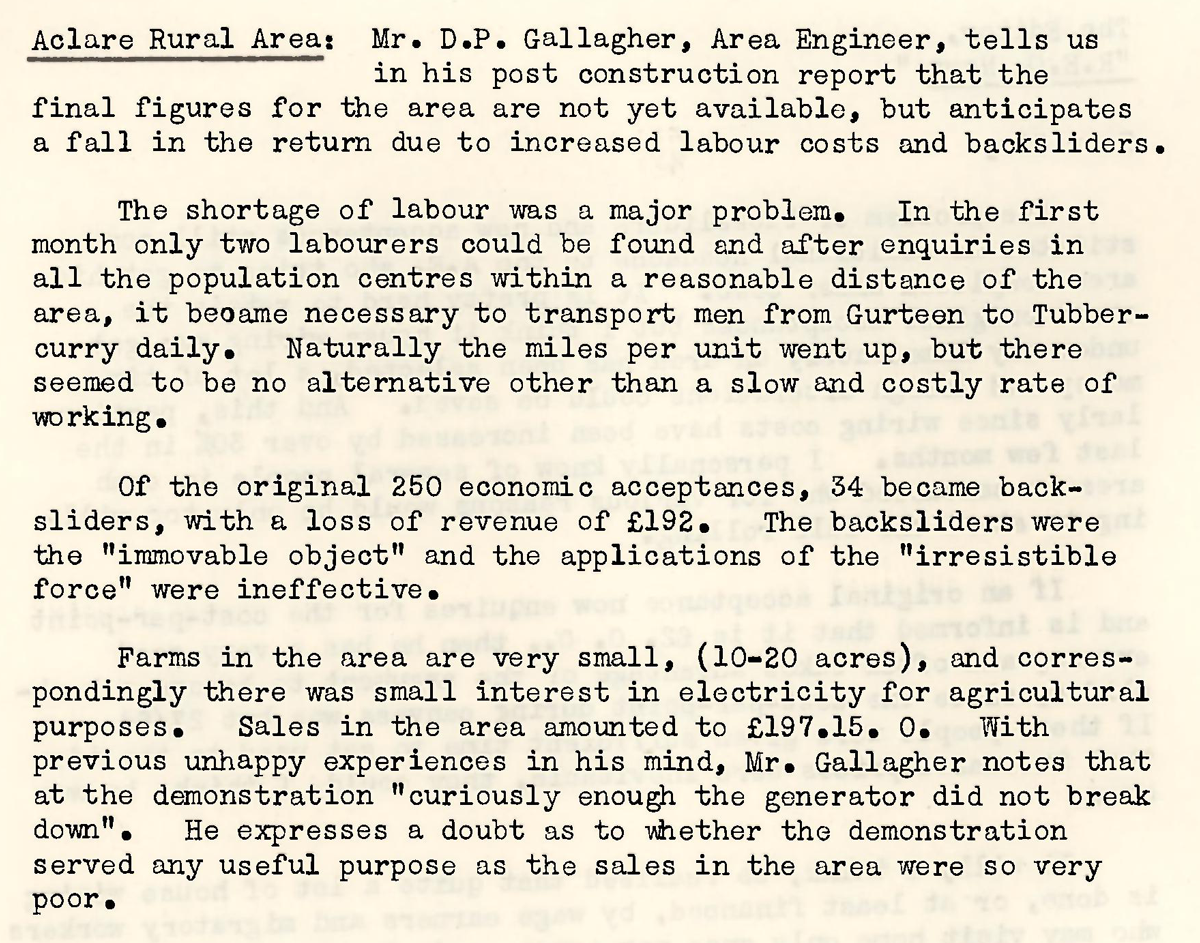
This digital scan from the REO News displays the following text:
"Aclare Rural Area: Mr. D. P. Gallagher, Area Engineer, tells us in his post construction report that the final figures for the area are not yet available, but anticipates a fall in the return due to increased labour costs and backsliders.
The shortage of labour was a major problem. In the first month only two labourers could be found and after enquiries in all the population centres within a reasonable distance of the area, it became necessary to transport men from Gurteen to Tubbercurry daily. Naturally the miles per unit went up, but there seemed to be no alternative other than a slow and costly rate of working.
Of the original 250 economic acceptances, 34 became backsliders, with a loss of revenue of £192. The backsliders were the “immovable object” and the applications of the “irresistible force” were ineffective.
Farms in the area are very small (10–20 acres), and correspondingly there was small interest in electricity for agricultural purposes. Sales in the area amounted to £197.15.0. With previous unhappy experiences in his mind, Mr. Gallagher notes that at the demonstration “curiously enough the generator did not break down”. He expresses a doubt as to whether the demonstration served any useful purpose as the sales in the area were so very poor."