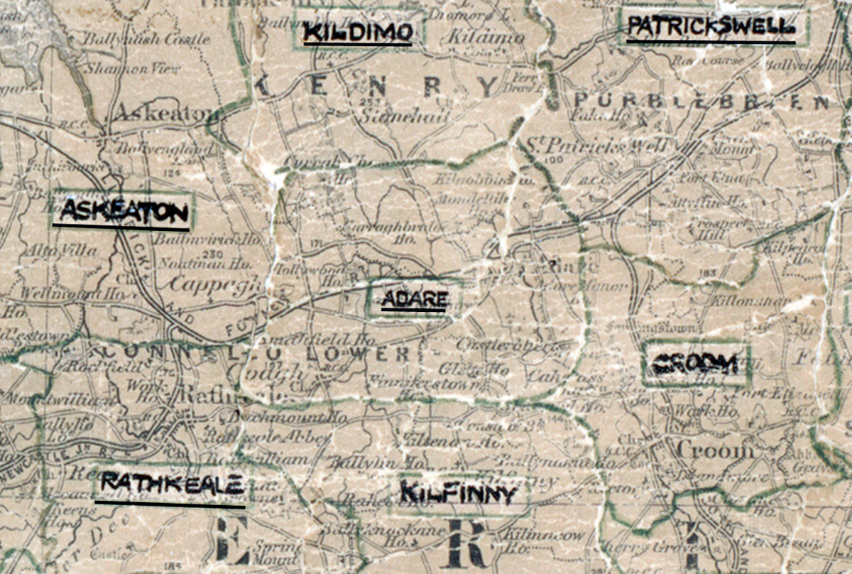
Area: Abbeylara
Started: December 1954
Finished: December 1955
Poles used: 1193
Line used (km): 103
Premises connected: 200
The figures above were sourced from our REO News magazine, to learn more about what these figures mean, visit our Interactive map page. The map above shows the area boundary and is from a digitised version of the original map used during the scheme.
An abnormal amount of rock was a problem in Adare according to The REO news from February 1954
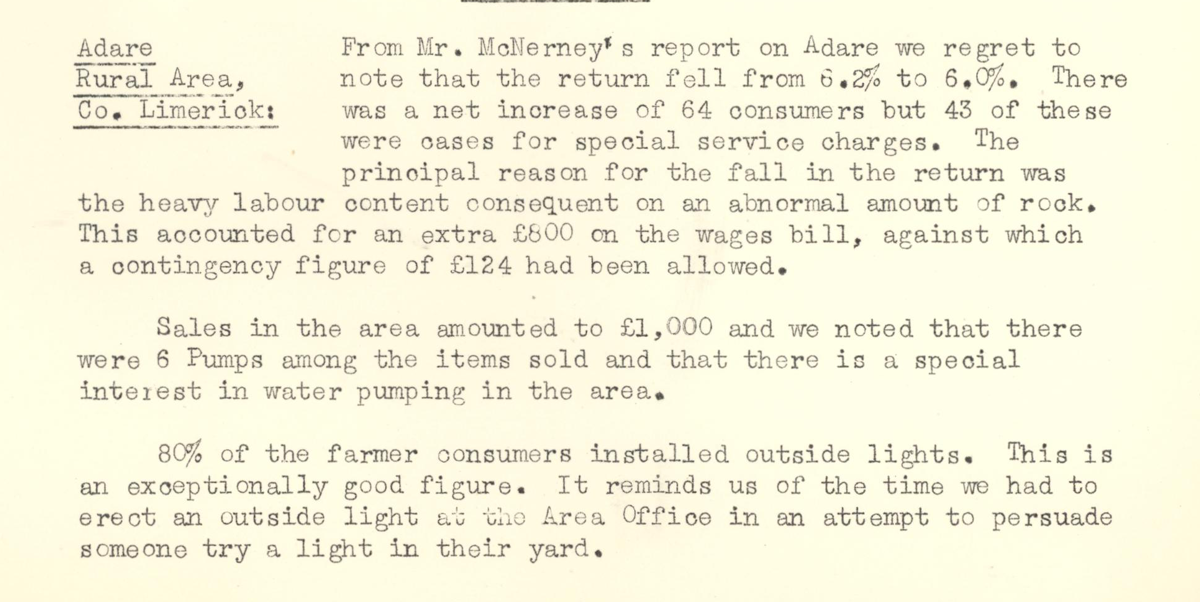
This digital scan from the REO News displays the following text:
"Adare, Rural Area, Co. Limerick: From Mr. McNerney's report on Adare we regret to note that the return fell from 6.2% to 6.0%. There was a net increase of 64 consumers but 43 of these were cases for special service charges. The principal reason for the fall in the return was the heavy labour content consequent on an abnormal amount of rock. This accounted for an extra £800 on the wages bill, against which a contingency figure of £124 had been allowed.
Sales in the area amounted to £1,000 and we noted that there were 6 Pumps among the items sold and that there is a special interest in water pumping in the area.
80% of the farmer consumers installed outside lights. This is an exceptionally good figure. It reminds us of the time we had to erect an outside light at the Area Office in an attempt to persuade someone try a light in their yard."