 Area: Aghnacliffe
Started: September 1955
Finished: April 1956
Poles used: 1156
Line used (km): 94
Premises connected: 133
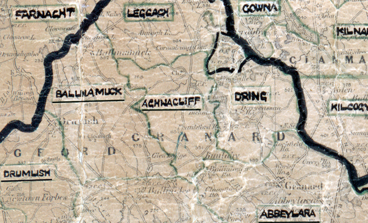
The figures above were sourced from our REO News magazine, to learn more about what these figures mean, visit our Interactive map page. The map above shows the area boundary and is from a digitised version of the original map used during the scheme.
The REO News from August 1956 reports that the usual amount of rock and water was encountered in Aghnacliffe.
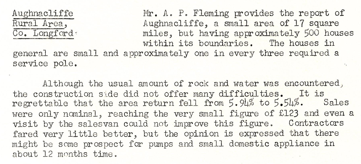
This digital scan from the REO News displays the following text:
Aughnacliffe Rural Area, Co. Longford: Mr. A. P. Fleming provides the report of Aughnacliffe, a small area of 17 square miles, but having approximately 500 houses within its boundaries. The houses in general are small and approximately one in every three required a service pole.
Although the usual amount of rock and water was encountered, the construction side did not offer many difficulties. It is regrettable that the area return fell from 5.94% to 5.54%. Sales were only nominal, reaching the very small figure of £123 and even a visit by the salesvan could not improve this figure. Contractors fared very little better, but the opinion is expressed that there might be some prospect for pumps and small domestic appliance in about 12 months time.