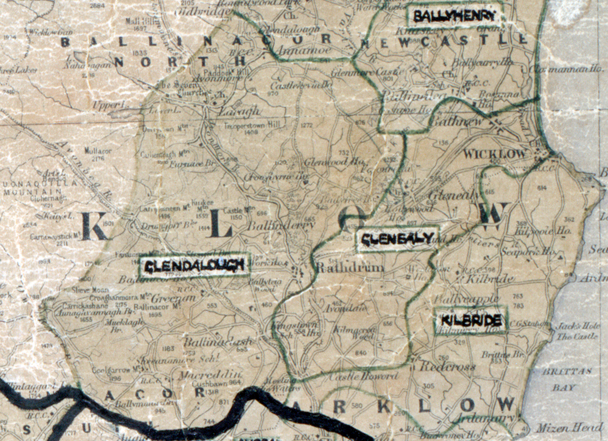
 Area: Glendalough
Started: June 1954
Finished: December 1955
Poles used: 1574
Line used (km): 140
Premises connected: 250
The figures above were sourced from our REO News magazine, to learn more about what these figures mean, visit our Interactive map. The map above shows the area boundary and is from a digitised version of the original map used during the scheme.
Glendalough proved to be a difficult area to complete according to The REO News from February 1956.
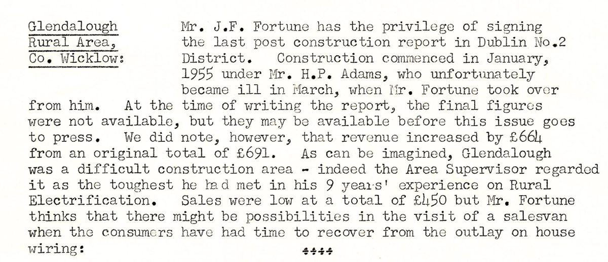
This digital scan from the REO news displays the following text:
"Glendalough Rural Area, Co. Wicklow: Mr. J.F. Fortune has the privilege of signing the last post construction report in Dublin No.2 District. Construction commenced in January, 1955 under Mr. H.P. Adams, who unfortunately became ill in March, when Mr. Fortune took over from him. At the time of writing the report, the final figures were not available, but they may be available before this issue goes to press. We did note, however, that revenue increased by £664 from an original total of £691.
As can be imagined, Glendalough was a difficult construction area - indeed the Area Supervisor regarded it as the toughest he had met in his 9 years' experience on Rural Electrification. Sales were low at a total of £450 but Mr. Fortune thinks that there might be possibilities in the visit of a salesvan when the consumers have had time to recover from the outlay on house wiring:"