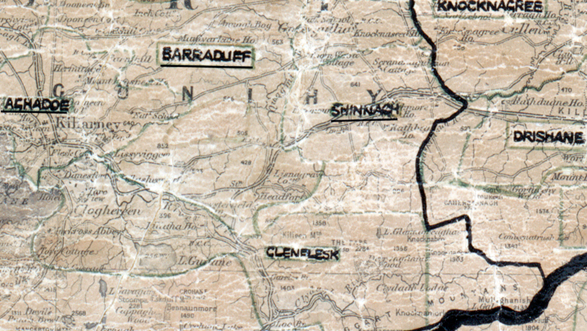
 Area: Shinnagh
Started: May 1952
Finished: October 1952
Poles used: 744
Line used (km): 64
Premises connected: 162
The figures above were sourced from our REO News magazine, to learn more about what these figures mean, visit our interactive map. The map above shows the area boundary and is from a digitised version of the original map used during the scheme.
Sales in Shinnagh were low according to The REO News from November 1952.
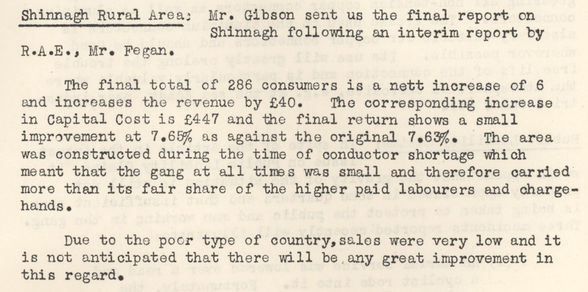 This digital scan from the REO News displays the following text:
"Shinnagh Rural Area: Mr. Gibson sent us the final report on Shinnagh following an interim report by R.A.E., Mr. Fegan.
The final total of 286 consumers is a nett increase of 6 and increases the revenue by £40. The corresponding increase in Capital Cost is £447 and the final return shows a small improvement at 7.65% as against the original 7.63%. The area was constructed during the time of conductor shortage which meant that the gang at all times was small and therefore carried more than its fair share of the higher paid labourers and charge‑hands.
Due to the poor type of country, sales were very low and it is not anticipated that there will be any great improvement in this regard."