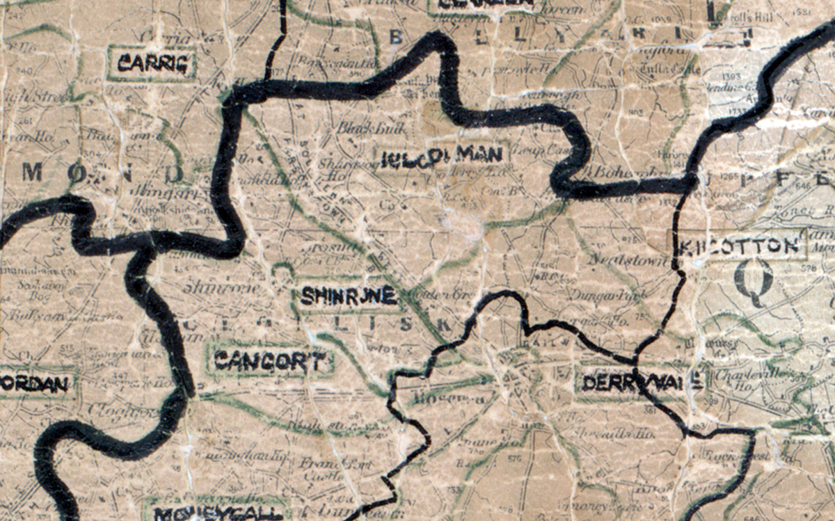
 Area: Shinrone
Started: January 1949
Finished: July 1949
Poles used: 931
Line used (km): 77
Premises connected: 203
The figures above were sourced from our REO News magazine, to learn more about what these figures mean, visit our interactive map. The map above shows the area boundary and is from a digitised version of the original map used during the scheme.
The Rural Electrification organisation received high praise in Shinrone as reported in The REO News from June 1949.
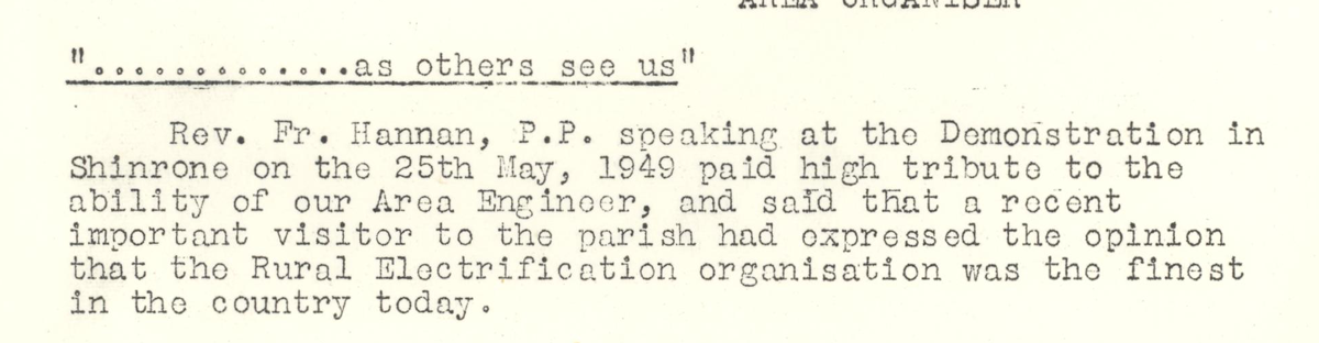 This digital scan from the REO News displays the following text:
"“.............as others see us”
Rev. Fr. Hannan, P.P. speaking at the Demonstration in Shinrone on the 25th May, 1949 paid high tribute to the ability of our Area Engineer and said that a recent important visitor to the parish had expressed the opinion that the Rural Electrification organisation was the finest in the country today."
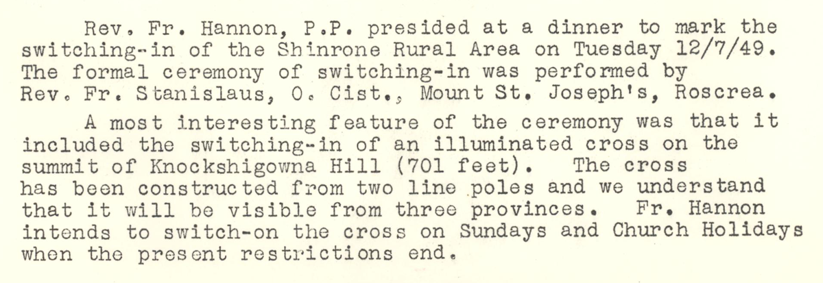 This digital scan from the REO News displays the following text:
"Rev. Fr. Hannon, P.P. presided at a dinner to mark the switching‑in of the Shinrone Rural Area on Tuesday 12/7/49. The formal ceremony of switching‑in was performed by Rev. Fr. Stanislaus, O. Cist., Mount St. Joseph’s, Roscrea.
A most interesting feature of the ceremony was that it included the switching‑in of an illuminated cross on the summit of Knockshigowna Hill (701 feet). The cross has been constructed from two line poles and we understand that it will be visible from three provinces. Fr. Hannon intends to switch‑on the cross on Sundays and Church Holidays when the present restrictions end."