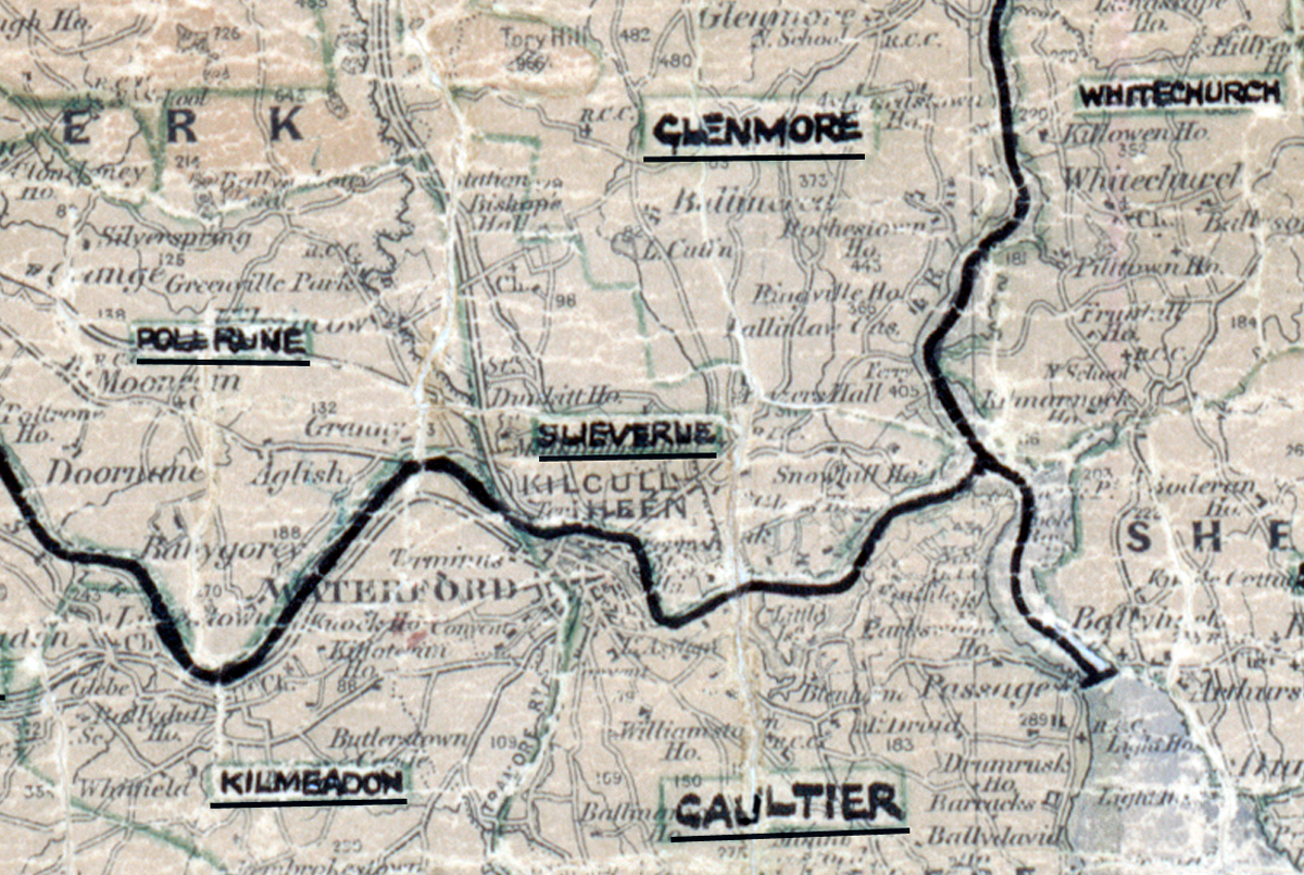
 Area: Slieverue
Started: June 1951
Finished: October 1951
Poles used: 686
Line used (km): 88
Premises connected: 207
The figures above were sourced from our REO News magazine, to learn more about what these figures mean, visit our interactive map. The map above shows the area boundary and is from a digitised version of the original map used during the scheme.
Backsliding was a problem in Slieverue according to The REO News from April 1952.
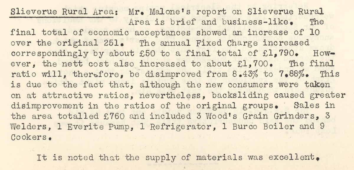 This digital scan from the REO News displays the following text:
"Slieverue Rural Area: Mr. Malone’s report on Slieverue Rural Area is brief and business‑like. The final total of economic acceptances showed an increase of 10 over the original 251. The annual Fixed Charge increased correspondingly by about £50 to a final total of £1,790. However, the nett cost also increased to about £1,700. The final ratio will, therefore, be disimproved from 8.43% to 7.88%. This is due to the fact that, although the new consumers were taken on at attractive ratios, nevertheless, backsliding caused greater disimprovement in the ratios of the original groups. Sales in the area totalled £760 and included 3 Woods Grain Grinders, 3 Welders, 1 Everite Pump, 1 Refrigerator, 1 Burco Boiler and 9 Cookers.
It is noted that the supply of materials was excellent."