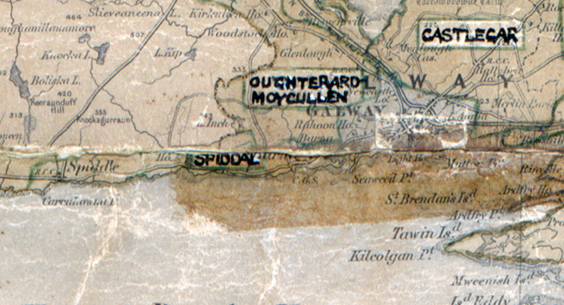
 Area: Spiddal
Started: January 1949
Finished: September 1949
Poles used: 373
Line used (km): 28
Premises connected: 101
The figures above were sourced from our REO News magazine, to learn more about what these figures mean, visit our interactive map. The map above shows the area boundary and is from a digitised version of the original map used during the scheme.
The REO News from July 1949 reports on a demonstration in Spiddal where only Irish was used.
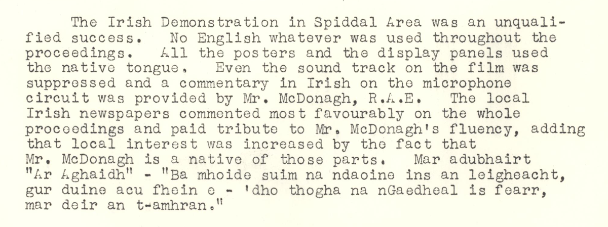 This digital scan from the REO News displays the following text:
"The Irish Demonstration in Spiddal Area was an unqualified success. No English whatever was used throughout the proceedings. All the posters and the display panels used the native tongue. Even the sound track on the film was suppressed and a commentary in Irish on the microphone circuit was provided by Mr. McDonagh, R.A.E. The local Irish newspaper commented most favourably on the whole proceedings and paid tribute to Mr. McDonagh’s fluency, adding that local interest was increased by the fact that Mr. McDonagh is a native of those parts. Mar adubhairt “Ar aghaid!” – “Ba mhoide suim na ndaoine ins an leigheacht, gur duine acu féin é – dho thogha na nGaedheal is fearr, mar deir an t‑amhran.”"