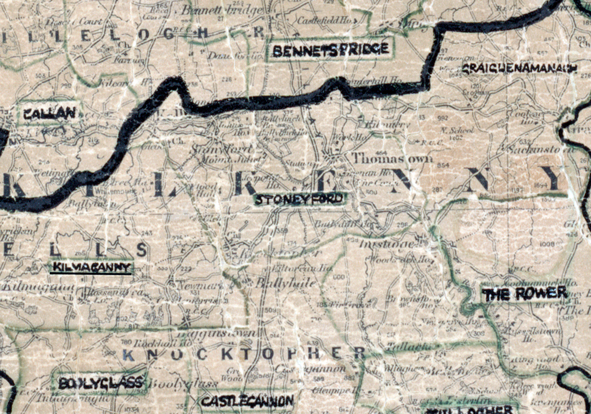
 Area: Stoneyford
Started: December 1949
Finished: October 1950
Poles used: 780
Line used (km): 68
Premises connected: 145
The figures above were sourced from our REO News magazine, to learn more about what these figures mean, visit our interactive map. The map above shows the area boundary and is from a digitised version of the original map used during the scheme.
The REO News from January 1951 reports that the prevalence of rock caused a problem in Stoneyford
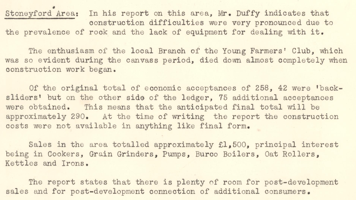
This digital scan from the REO News displays the following text:
"Stoneyford Area: In his report on this area, Mr. Duffy indicates that construction difficulties were very pronounced due to the prevalence of rock and the lack of equipment for dealing with it.
The enthusiasm of the local Branch of the Young Farmers’ Club, which was so evident during the canvass period, died down almost completely when construction work began.
Of the original total of economic acceptances of 258, 42 were “back‑sliders” but on the other side of the ledger, 75 additional acceptances were obtained. This means that the anticipated final total will be approximately 290. At the time of writing the report the construction costs were not available in anything like final form.
Sales in the area totalled approximately £1,500, principal interest being in Cookers, Grain Grinders, Pumps, Burco Boilers, Oat Rollers, Kettles and Irons.
The report states that there is plenty of room for post‑development sales and for post‑development connection of additional consumers."