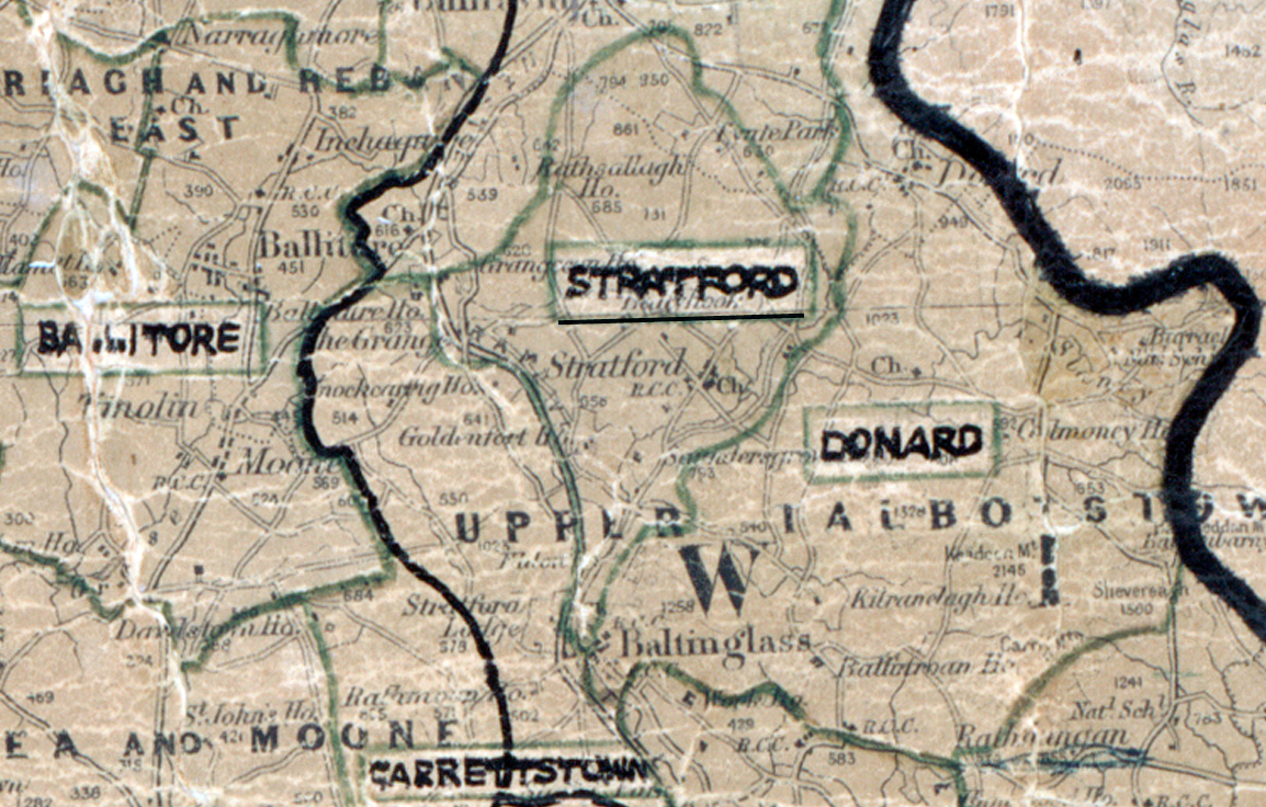
 Area: Stratford
Started: December 1954
Finished: December 1955
Poles used: 766
Line used (km): 67
Premises connected: 150
The figures above were sourced from our REO News magazine, to learn more about what these figures mean, visit our interactive map. The map above shows the area boundary and is from a digitised version of the original map used during the scheme.
The REO News from March 1956 tells us that sales in Stratford were moderate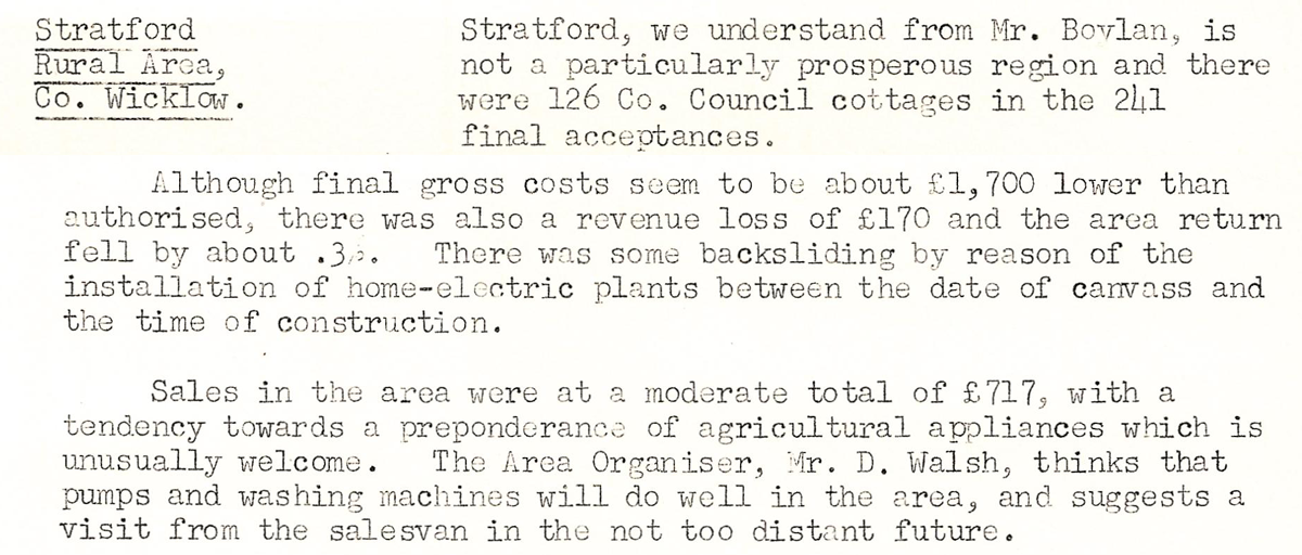 This digital scan from the REO News displays the following text:
"Stratford Rural Area, Co. Wicklow.
Stratford, we understand from Mr. Boylan, is not a particularly prosperous region and there were 126 Co. Council cottages in the 241 final acceptances.
Although final gross costs seem to be about £1,700 lower than authorised, there was also a revenue loss of £170 and the area return fell by about .3%. There was some backsliding by reason of the installation of home‑electric plants between the date of canvass and the time of construction.
Sales in the area were at a moderate total of £717, with a tendency towards a preponderance of agricultural appliances which is unusually welcome. The Area Organiser, Mr. D. Walsh, thinks that pumps and washing machines will do well in the area, and suggests a visit from the salesvan in the not too distant future."