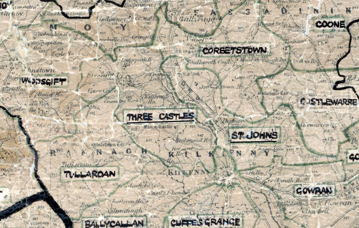
 Area: Three Castles
Started: June 1952
Finished: February 1953
Poles used: 918
Line used (km): 91
Premises connected: 150
The figures above were sourced from our REO News magazine, to learn more about what these figures mean, visit our interactive map. The map above shows the area boundary and is from a digitised version of the original map used during the scheme.
A demonstration in Three Castles gets a brief mention in The REO News from October 1952 This digital scan from the REO News displays the following text:
"A pleasant variation in the film programme at the demonstration in Three Castles Rural Area was the showing of a small 16mm. film, which had been made by the local Young Farmers’ Club at their Dance. It caused a good deal of amusement as most of the “stars” were well known to the audience."