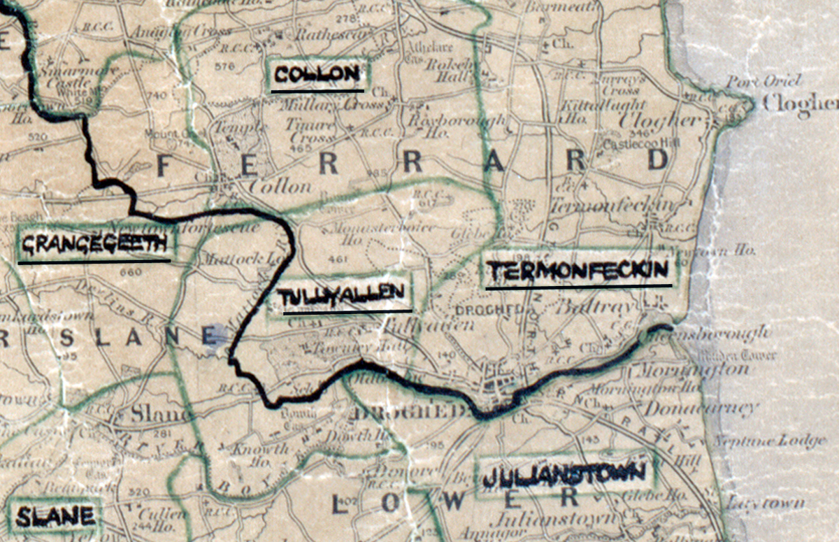
 Area: Tullyallen
Started: June 1951
Finished: March 1952
Poles used: 750
Line used (km): 62
Premises connected: 6
The figures above were sourced from our REO News magazine, to learn more about what these figures mean, visit our interactive map. The map above shows the area boundary and is from a digitised version of the original map used during the scheme.
The REO News from November 1952 tells us that an unexpected amount of rock was encountered in Tullyallen
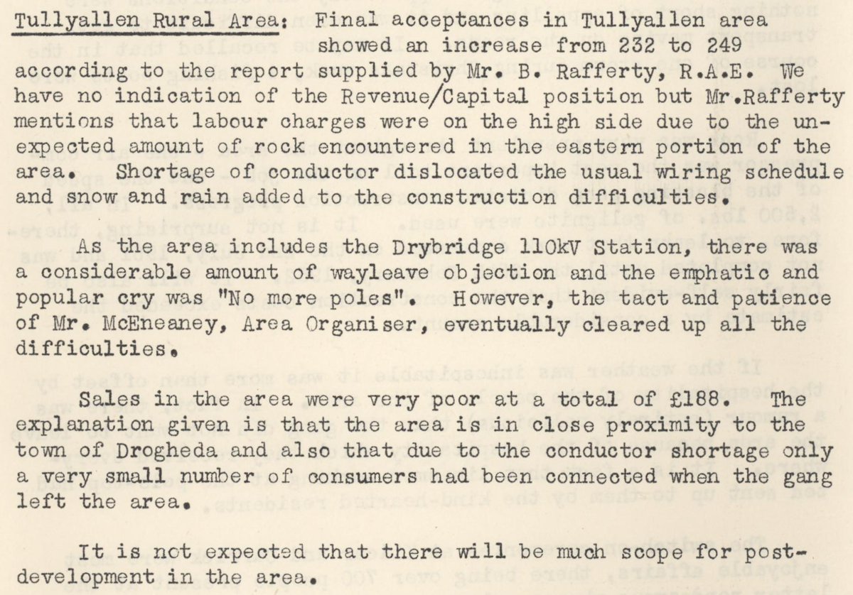
This digital scan from the REO News displays the following text:
"Tullyallen Rural Area: Final acceptances in Tullyallen area showed an increase from 232 to 249 according to the report supplied by Mr. B. Rafferty, R.A.E. We have no indication of the Revenue/Capital position but Mr. Rafferty mentions that labour charges were on the high side due to the unexpected amount of rock encountered in the eastern portion of the area. Shortage of conductor dislocated the usual wiring schedule and snow and rain added to the construction difficulties.
As the area includes the Drybridge 110kV Station, there was a considerable amount of wayleave objection and the emphatic and popular cry was “No more poles”. However, the tact and patience of Mr. McEney, Area Organiser, eventually cleared up all the difficulties.
Sales in the area were very poor at a total of £188. The explanation given is that the area is in close proximity to the town of Drogheda and also that due to the conductor shortage only a very small number of consumers had been connected when the gang left the area.
It is not expected that there will be much scope for post‑development in the area."