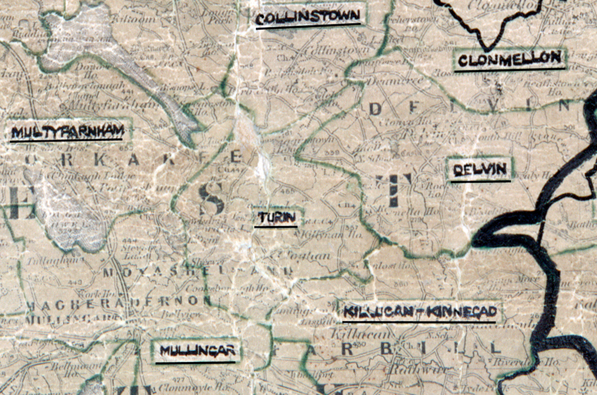
 Area: Turin
Started: June 1954
Finished: November 1954
Poles used: 792
Line used (km): 74
Premises connected: 90
The figures above were sourced from our REO News magazine, to learn more about what these figures mean, visit our interactive map. The map above shows the area boundary and is from a digitised version of the original map used during the scheme.
A blizzard caused problems in Turin according to The REO News from June 1955.
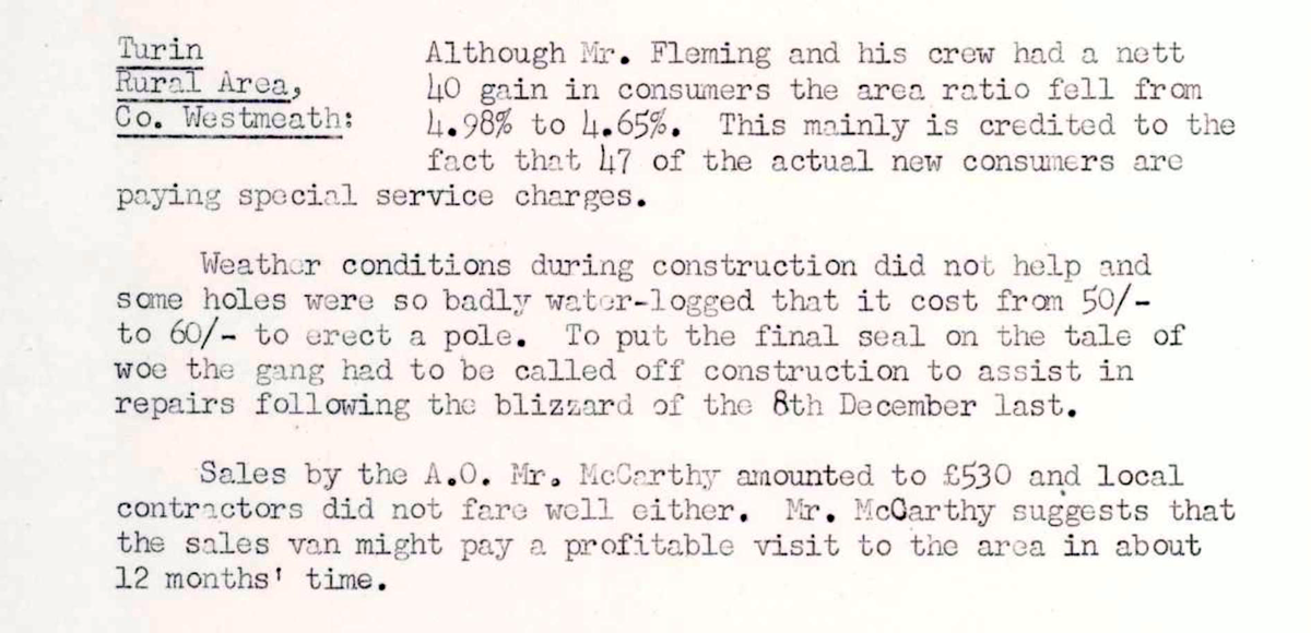
This digital scan from the REO News displays the following text:
"Turin Rural Area, Co. Westmeath: Although Mr. Fleming and his crew had a nett 40 gain in consumers the area ratio fell from 4.98% to 4.65%. This mainly is credited to the fact that 47 of the actual new consumers are paying special service charges.
Weather conditions during construction did not help and some holes were so badly water‑logged that it cost from 50/‑ to 60/‑ to erect a pole. To put the final seal on the tale of woe the gang had to be called off construction to assist in repairs following the blizzard of the 8th December last.
Sales by the A.O., Mr. McCarthy, amounted to £530 and local contractors did not fare well either. Mr. McCarthy suggests that the sales van might pay a profitable visit to the area in about 12 months’ time."