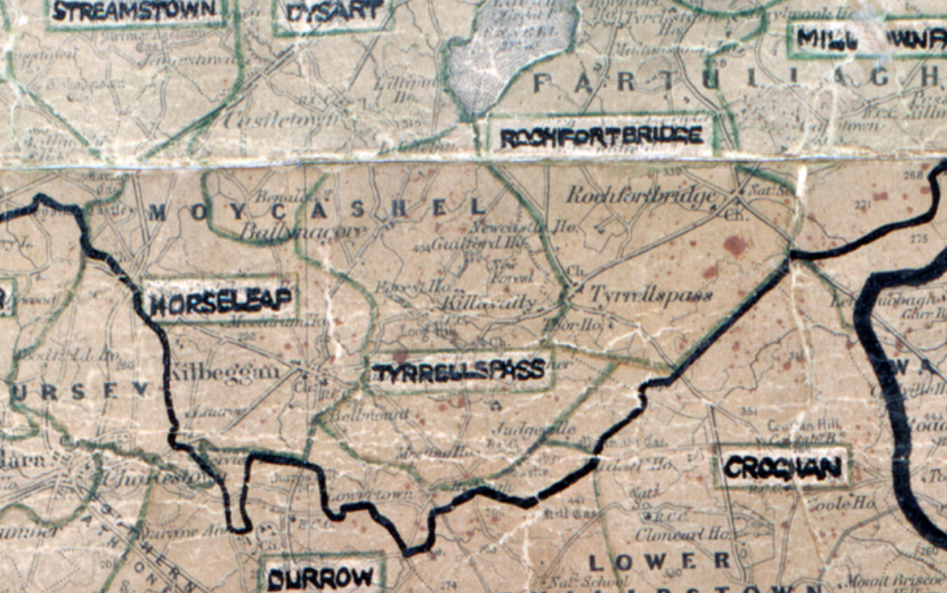
 Area: Tyrrellspass
Started: September 1949
Finished: April 1950
Poles used: 667
Line used (km): 59
Premises connected: 58
The figures above were sourced from our REO News magazine, to learn more about what these figures mean, visit our interactive map. The map above shows the area boundary and is from a digitised version of the original map used during the scheme.

This digital scan from the REO News displays the following text:
"There was an interesting sidelight to the switch‑on in Tyrrellspass on Wednesday, November 23rd. The official ceremony was timed for 8 o’clock. At 6 o’clock on that evening a local merchant’s private generating plant gave up the ghost."