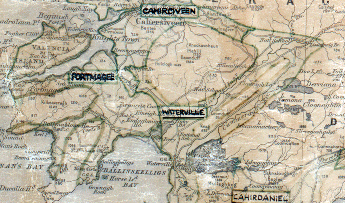
 Area: Waterville
Started: November 1956
Finished: December 1956
Poles used: 439
Line used (km): 30
Premises connected: not recorded
The figures above were sourced from our REO News magazine, to learn more about what these figures mean, visit our interactive map. The map above shows the area boundary and is from a digitised version of the original map used during the scheme.
The Currane River had to be spanned in Waterville as reported in The REO News from February 1957.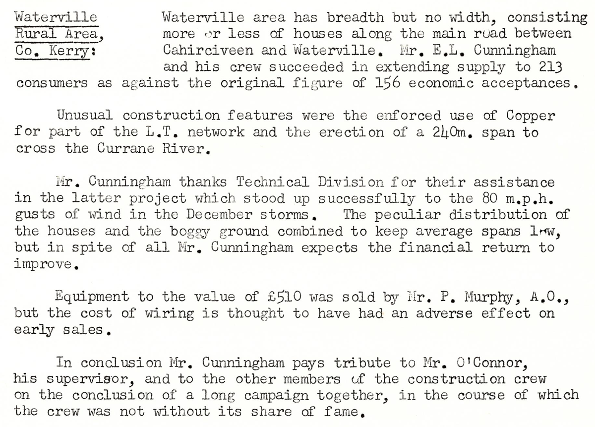 This digital scan from the REO News displays the following text:
"Waterville Rural Area, Co. Kerry: Waterville area has breadth but no width, consisting more or less of houses along the main road between Cahirciveen and Waterville. Mr. E.L. Cunningham and his crew succeeded in extending supply to 213 consumers as against the original figure of 156 economic acceptances.
Unusual construction features were the enforced use of Copper for part of the L.T. network and the erection of a 240 m. span to cross the Currane River.
Mr. Cunningham thanks Technical Division for their assistance in the latter project which stood up successfully to the 80 m.p.h. gusts of wind in the December storms. The peculiar distribution of the houses and the boggy ground combined to keep average spans low, but in spite of all Mr. Cunningham expects the financial return to improve.
Equipment to the value of £510 was sold by Mr. P. Murphy, A.O., but the cost of wiring is thought to have had an adverse effect on early sales.
In conclusion Mr. Cunningham pays tribute to Mr. O’Connor, his supervisor, and to the other members of the construction crew on the conclusion of a long campaign together, in the course of which the crew was not without its share of fame."