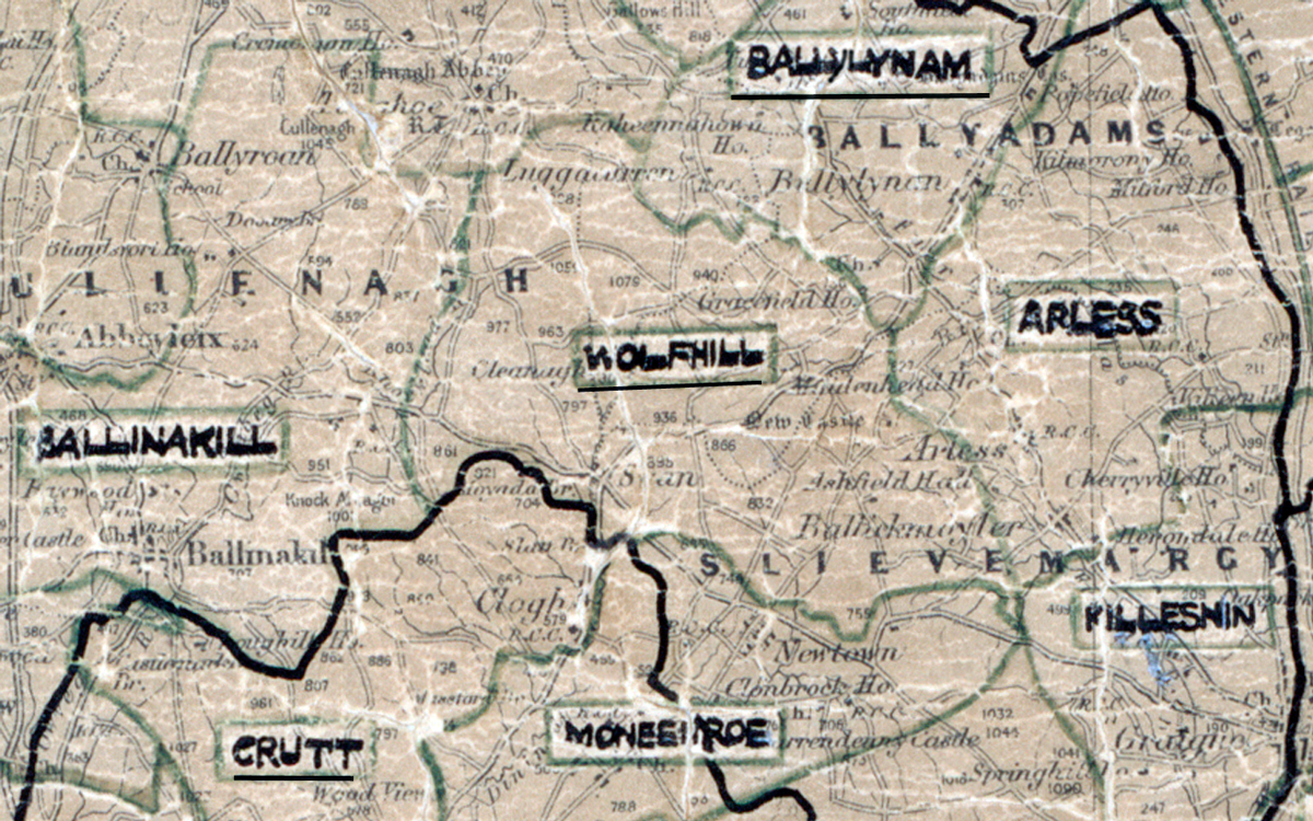
 Area: Wolfhill
Started: October 1958
Finished: July 1959
Poles used: 975
Line used (km): 83
Premises connected: 175
The figures above were sourced from our REO News magazine, to learn more about what these figures mean, visit our interactive map. The map above shows the area boundary and is from a digitised version of the original map used during the scheme.
The REO News from July 1959 reports on a demonstration on a farm in Wolfhill.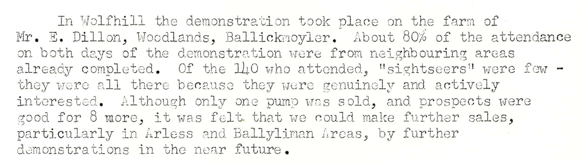 This digital scan from the REO News displays the following text:
"In Wolfhill the demonstration took place on the farm of Mr. E. Dillon, Woodlands, Ballickmoyler. About 80% of the attendance on both days of the demonstration were from neighbouring areas already completed. Of the 140 who attended, “sightseers” were few — they were all there because they were genuinely and actively interested. Although only one pump was sold, and prospects were good for 8 more, it was felt that we could make further sales, particularly in Arless and Ballyliman Areas, by further demonstrations in the near future."