Rural electrification archive
This collection contains articles about each of the 762 rural areas that Ireland was divided up into for the Rural electrification scheme in the 1940s.
Showing 7 to 12 out of 819 results
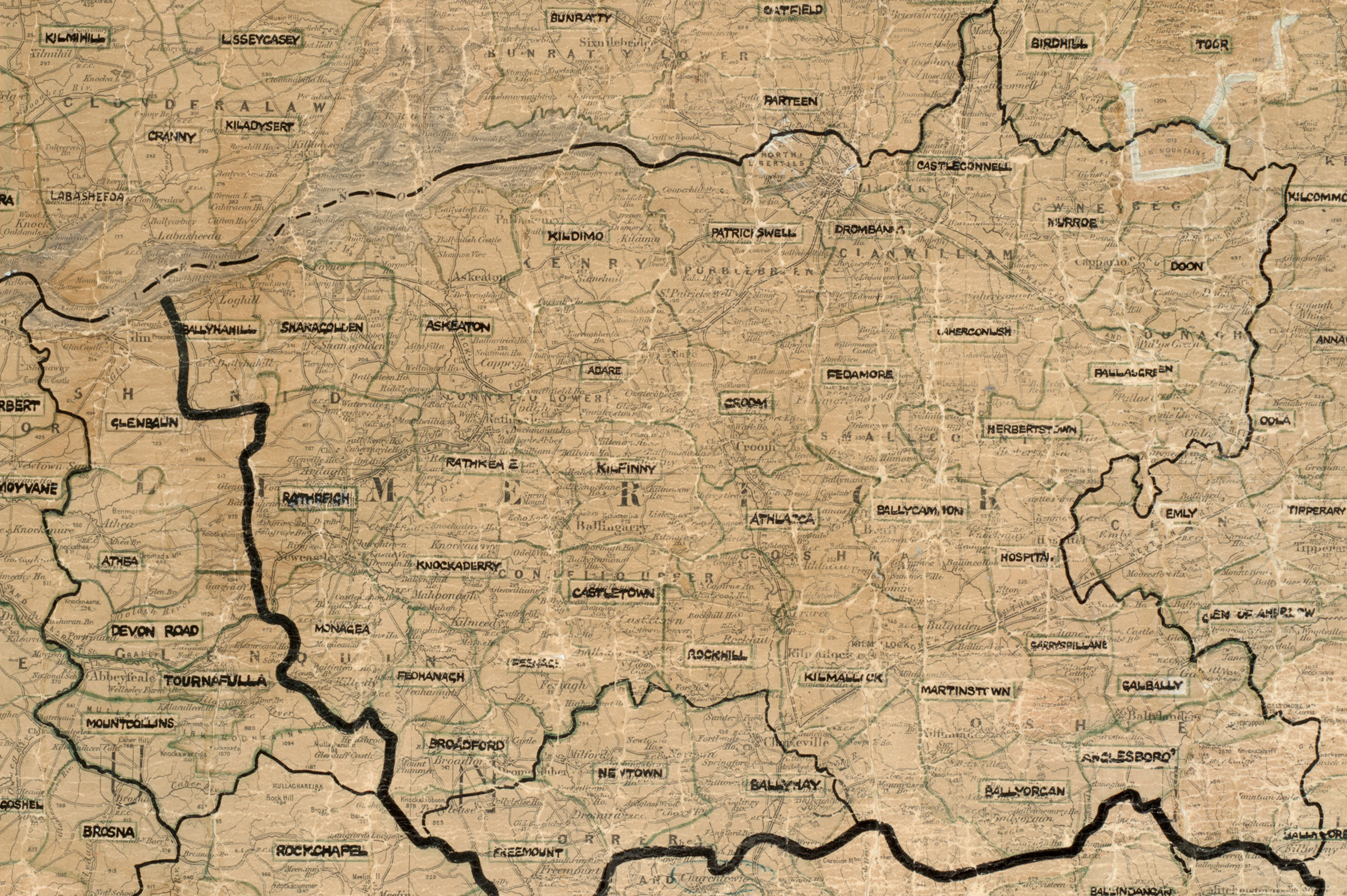
Connecting Limerick to the national grid
Explore the history of electricity in County Limerick
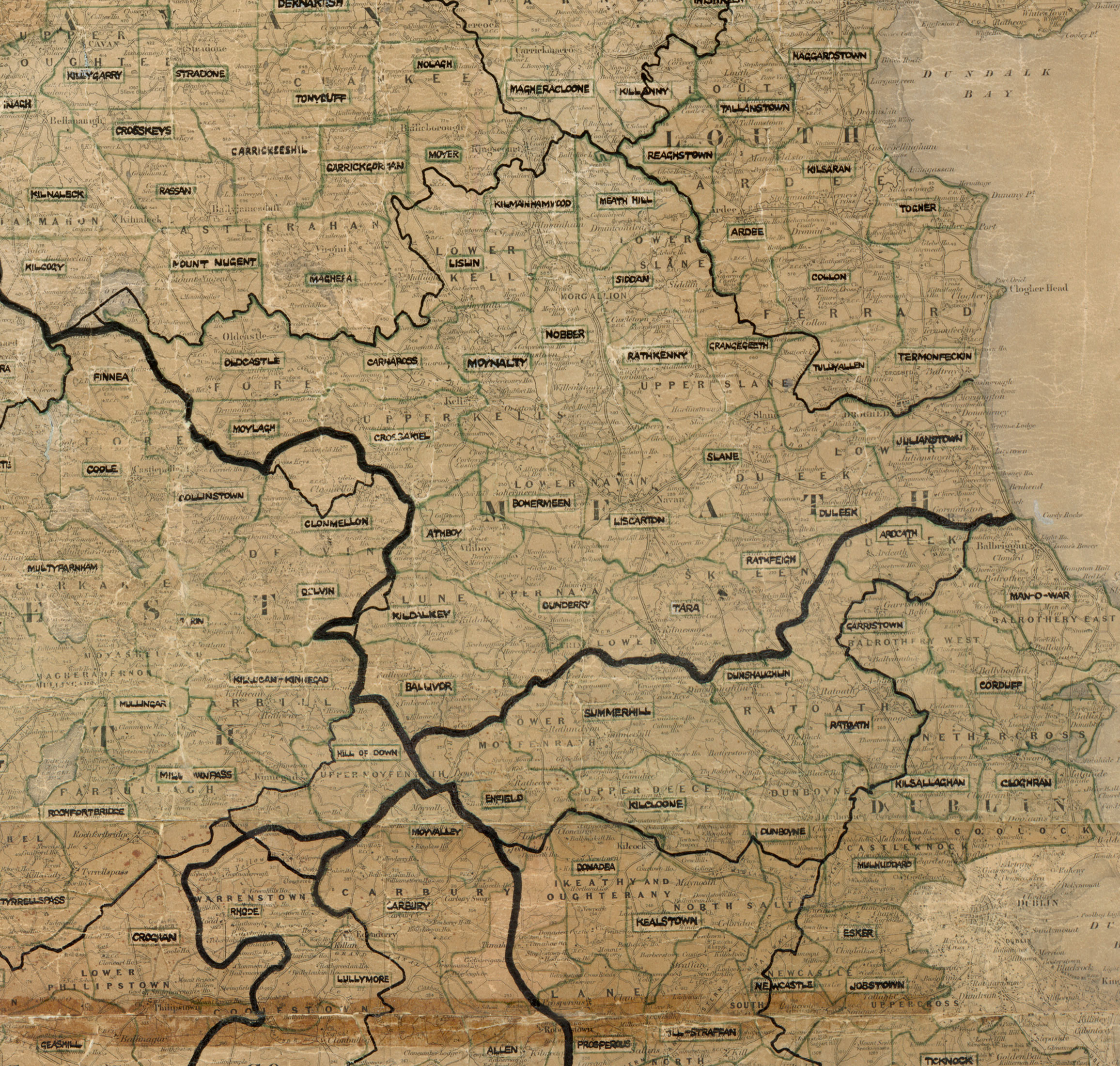
Connecting Meath to the national grid
Explore the history of electricity in County Meath
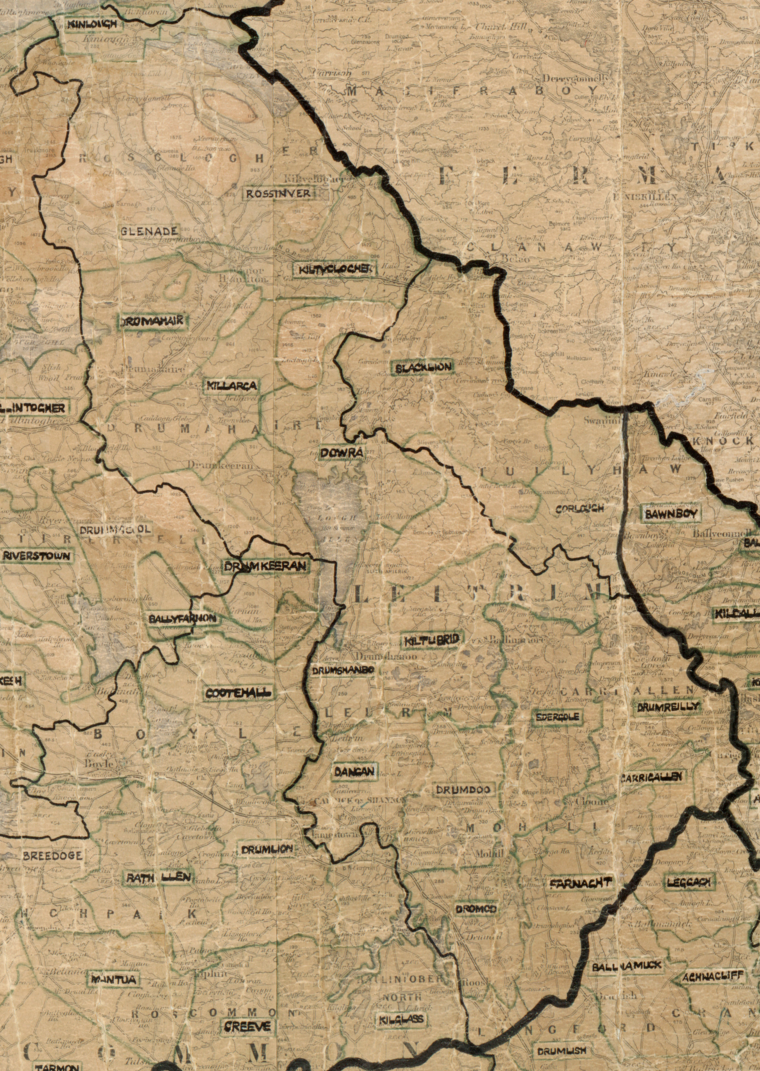
Connecting Leitrim to the national grid
Explore the history of electricity in County Leitrim
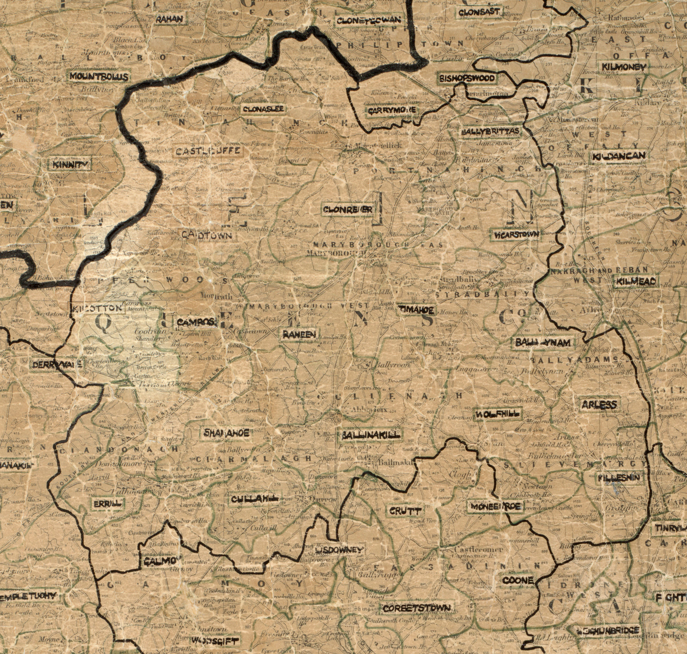
Connecting Laois to the national grid
Explore the history of electricity in County Laois
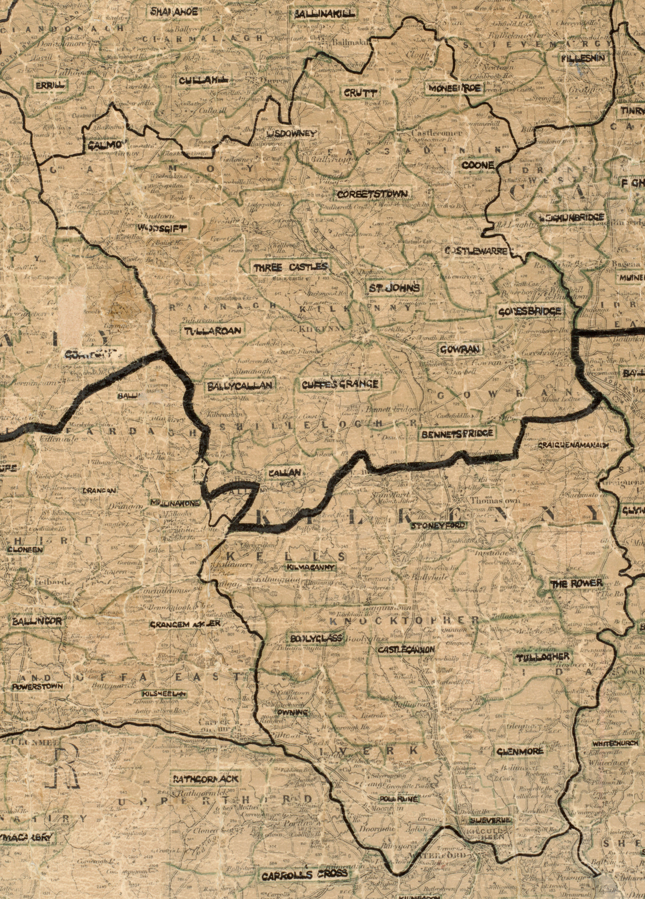
Connecting Kilkenny to the national grid
Explore the history of electricity in County Kilkenny
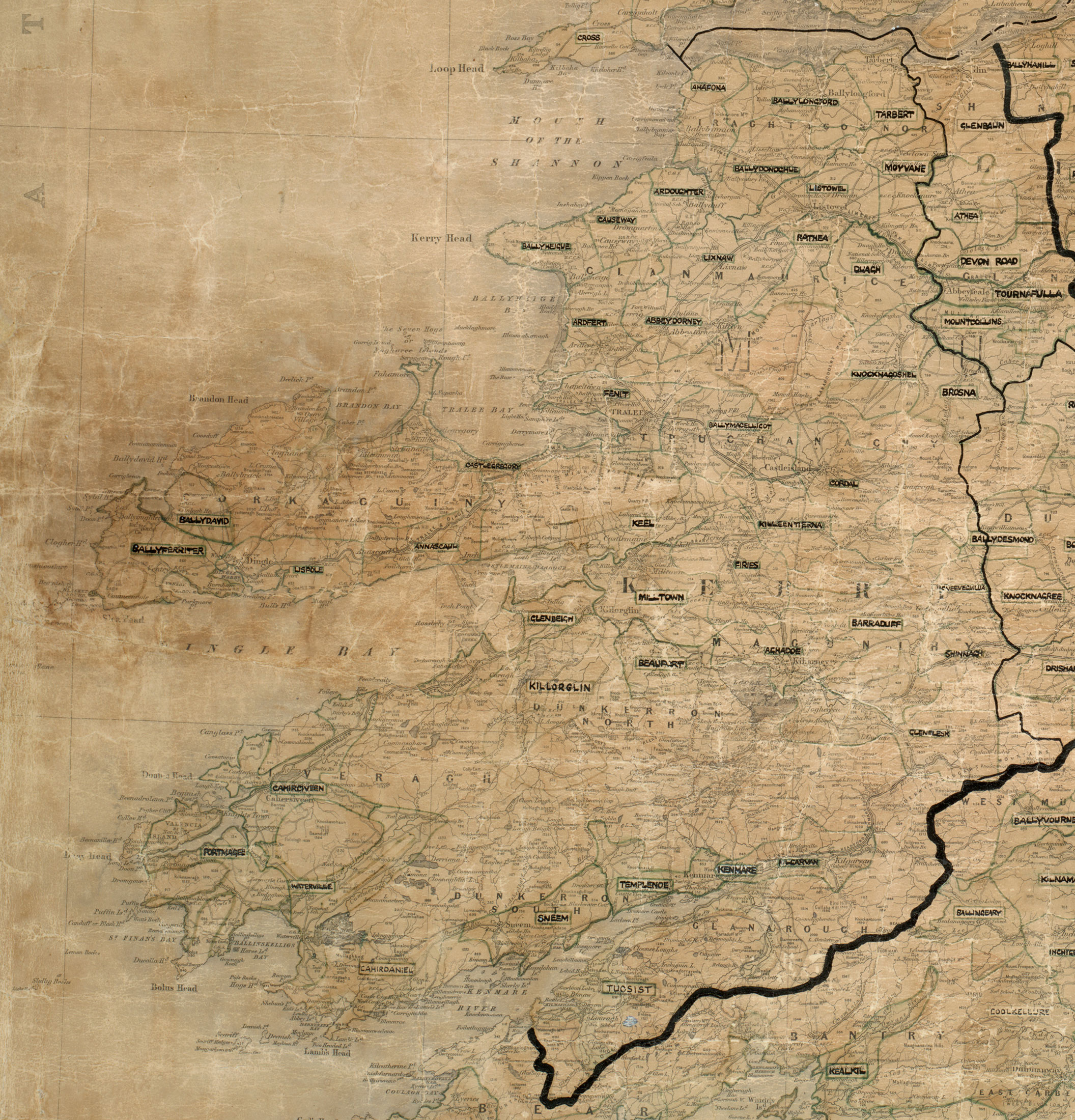
Connecting Kerry to the national grid
Explore the history of electricity in County Kerry