Skip to Content

Rural electrification archive

This collection contains articles about each of the 762 rural areas that Ireland was divided up into for the Rural electrification scheme in the 1940s.

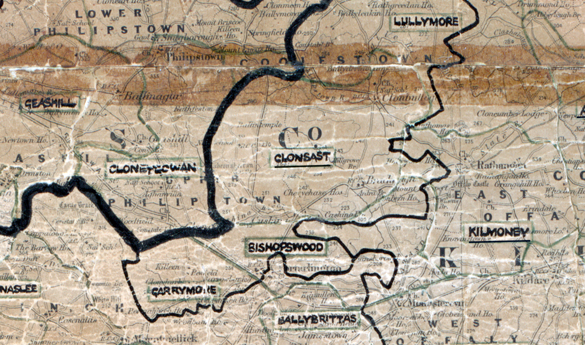
A scanned, worn historical map from the 1940s of the  rural electrification area around  Clonsast. A hand‑drawn boundary outlines the region, including Lullymore, Geashill, Cloneygowan, Bishopswood, Garrymore, Kilmoney and Ballybrittas.

Clonsast, Co. Kildare

Electrified in 1953

Learn more
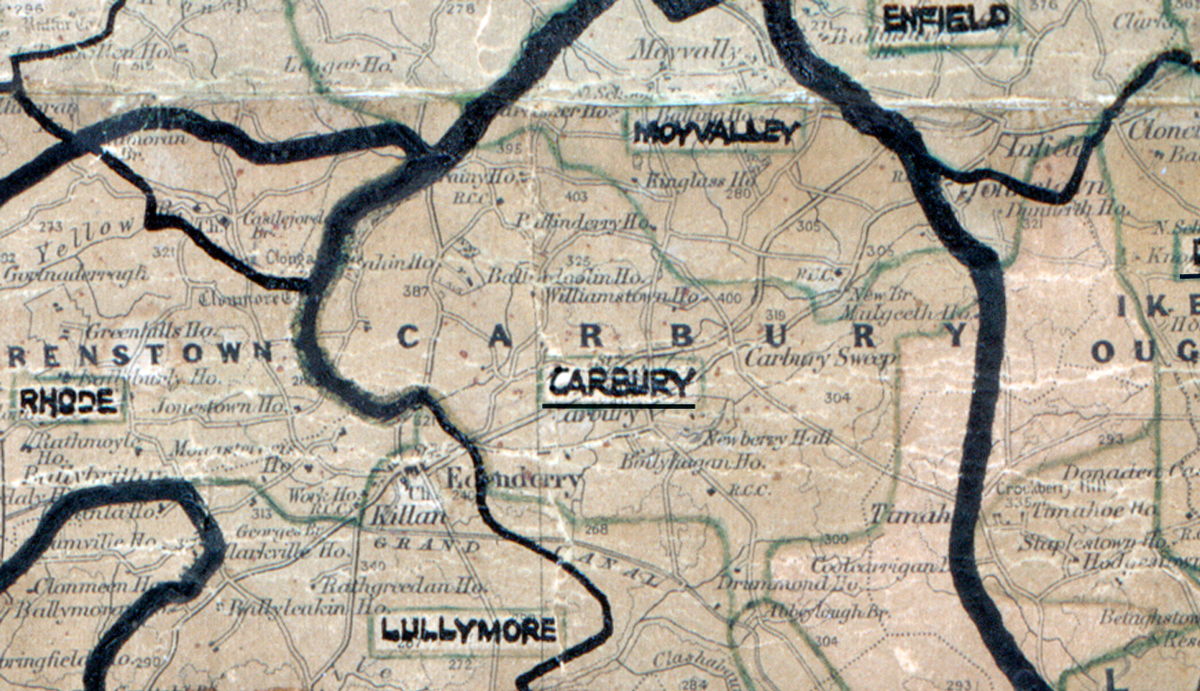
A scanned, worn historical map from the 1940s of the  rural electrification area around  Carbury. A hand‑drawn boundary outlines the region, including Enfield, Rhode, Lullymore and Moyvalley.

Carbury, Co. Kildare

Electrified in 1955

Learn more
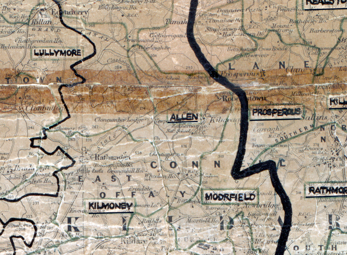
A scanned, worn historical map from the 1940s of the  	rural electrification area around Allen. A hand‑drawn boundary outlines the region, including Lullymore, Kilmoney, Prosperous, Rathmore and Moorfield.

Allen, Co. Kildare

Electrified in 1952

Learn more
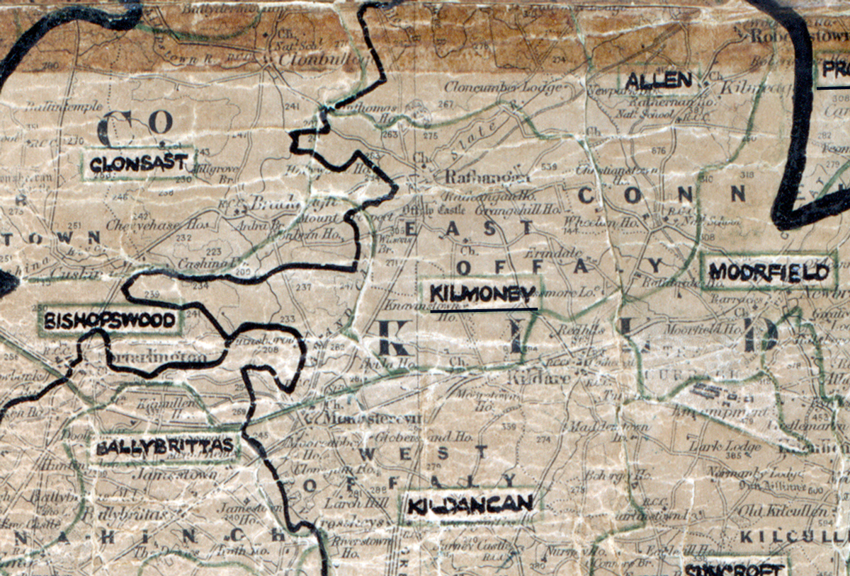
A scanned, worn historical map from the 1940s of the  rural electrification area around Kilmoney. A hand‑drawn boundary outlines the region, including Clonsast, Allen, Bishopswood, Modrfield, Ballybrittas and Kildancan.

Kilmoney, Co. Kildare

Electrified in 1951

Learn more
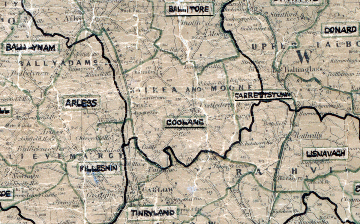
A scanned, worn historical map from the 1940s of the  rural electrification area around Coolane. A hand‑drawn boundary outlines the region, including Ballitore, Ballylynan, Arless, Donard, Garresttstown, Killeshin and Lisnavagh.

Coolane, Co. Kildare

Electrified in 1961

Learn more
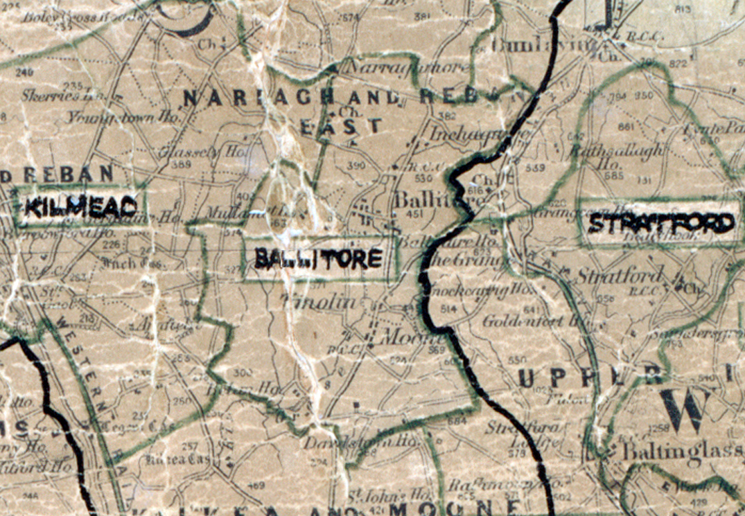
A scanned, worn historical map from the 1940s of the  rural electrification area around Ballitore. A  hand‑drawn boundary outlines the region.

Ballitore, Co. Kildare

Electrified in 1949

Learn more