Skip to Content

Rural electrification archive

This collection contains articles about each of the 762 rural areas that Ireland was divided up into for the Rural electrification scheme in the 1940s.

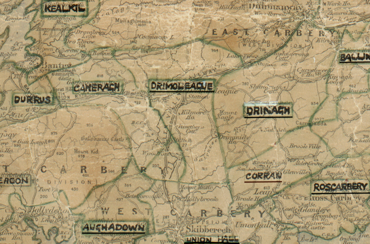
A scanned, worn historical map from the 1940s of the  rural electrification area around Drimoleague. A hand‑drawn boundary outlines the region, including Kealkil, Cheragh, Durrus, Drinagh, Corran, Aughadown, Union Hall and Rosscarbery.

Drimoleague, Co. Cork

Electrified in 1960

Learn more
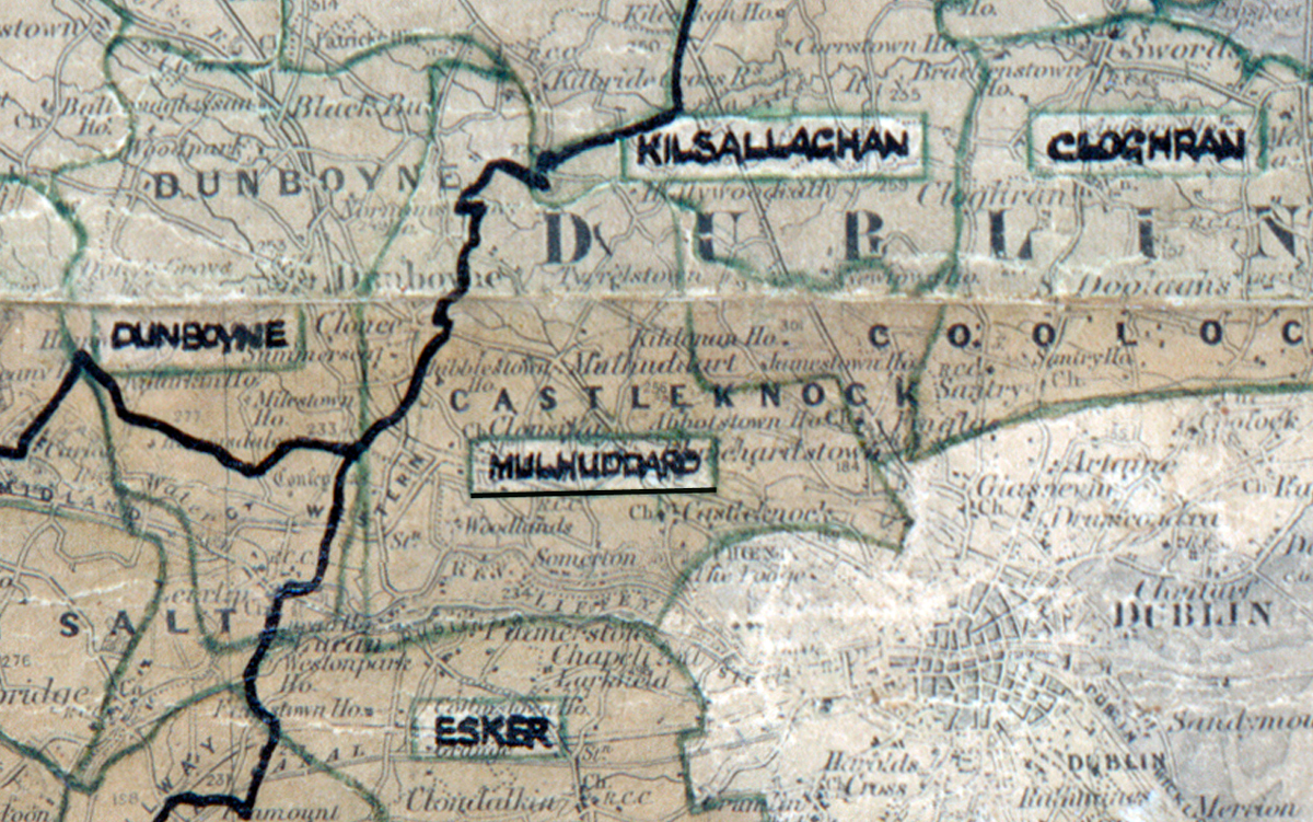
A scanned, worn historical map from the 1940s of the rural electrification area around Mulhuddart. A hand‑drawn boundary outlines the region, including Esker, Dunboyne and Kilsallaghan.

Mulhuddart, Co. Dublin

Electrified in 1951

Learn more
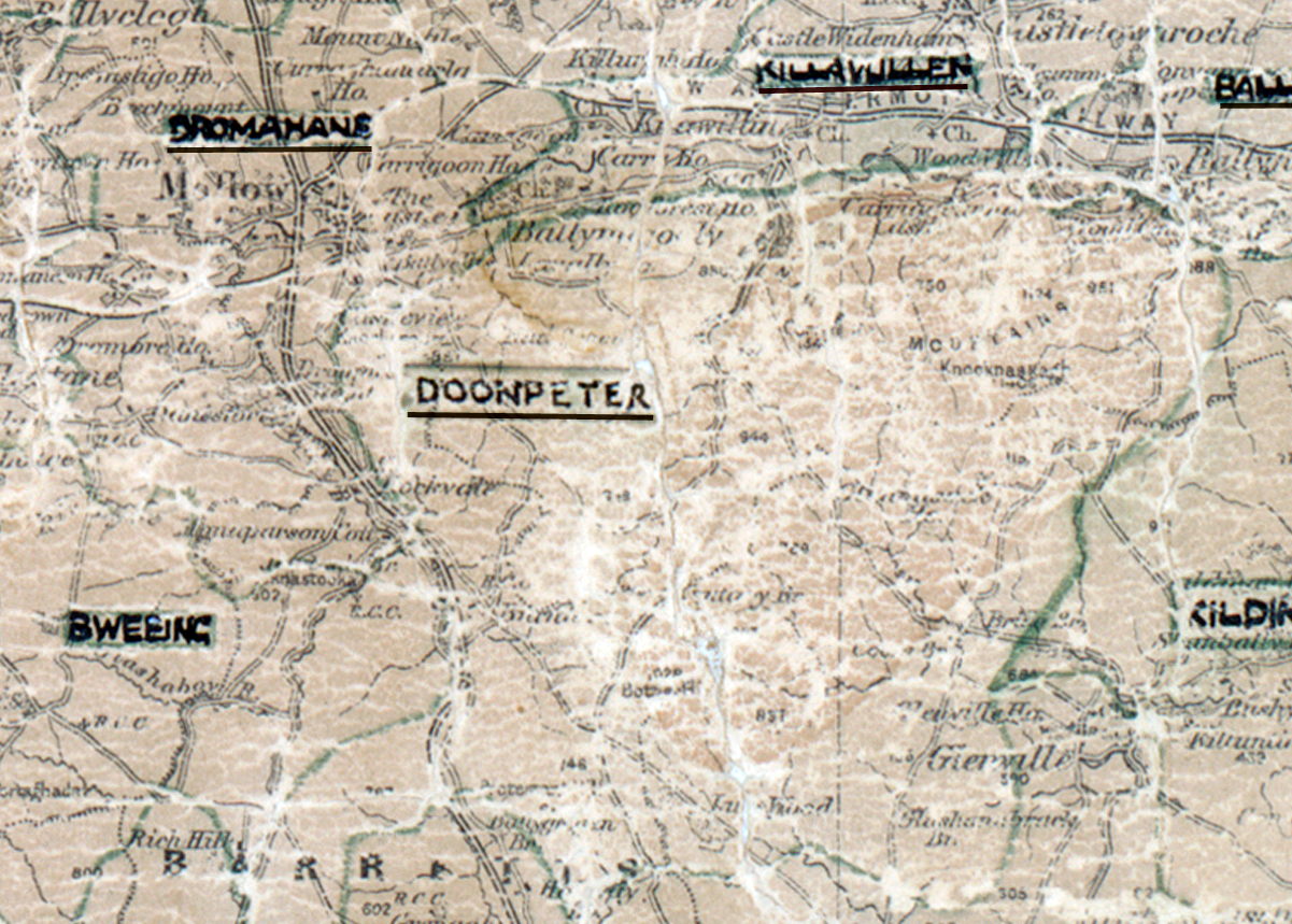
A scanned, worn historical map from the 1940s of the  rural electrification area around Doonpeter. A hand‑drawn boundary outlines the region, including Killavullen, Dromahane and Bweeng.

Doonpeter, Co. Cork

Electrified in 1964

Learn more
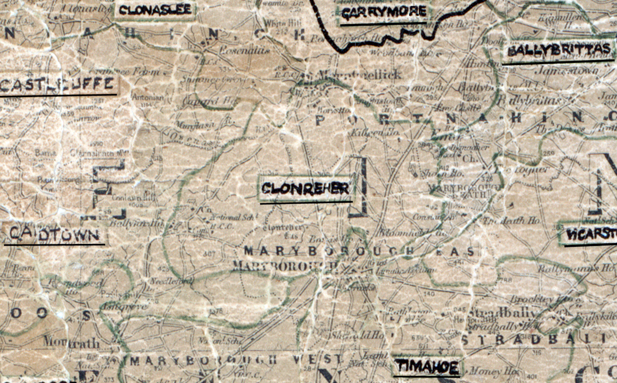
A scanned, worn historical map from the 1940s of the  rural electrification area around Clonreher. A hand‑drawn boundary outlines the region, including Clonaslee, Castlecuffe, Carrymore, Ballinakill, Cardtown and Timahoe.

Clonreher, Co. Laois

Electrified in 1957

Learn more
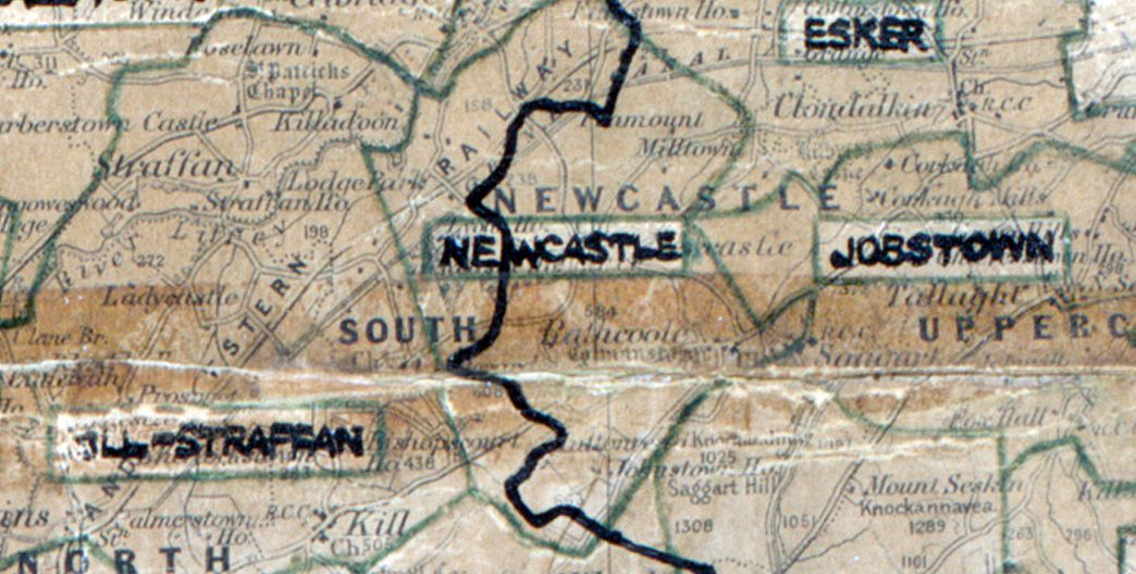
“A scanned, worn historical map from the 1940s of the rural electrification area around Newcastle. A hand‑drawn boundary outlines the region, including Josbtown and Esker”

Newcastle, Co. Dublin

Electrified in 1949

Learn more
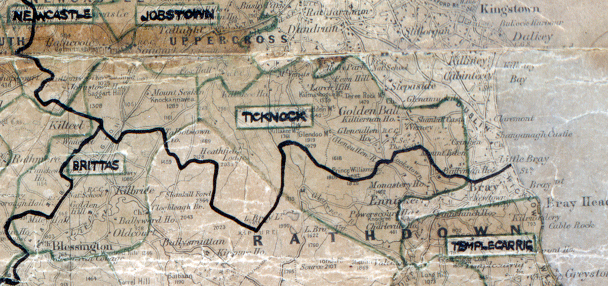
A scanned, worn historical map from the 1940s of the rural electrification area around Ticknock. A hand‑drawn boundary outlines the region, including Templecarrig, Brittas and Jobstown.

Ticknock, Co. Dublin

Electrified in 1950

Learn more