Skip to Content

Rural electrification archive

This collection contains articles about each of the 762 rural areas that Ireland was divided up into for the Rural electrification scheme in the 1940s.

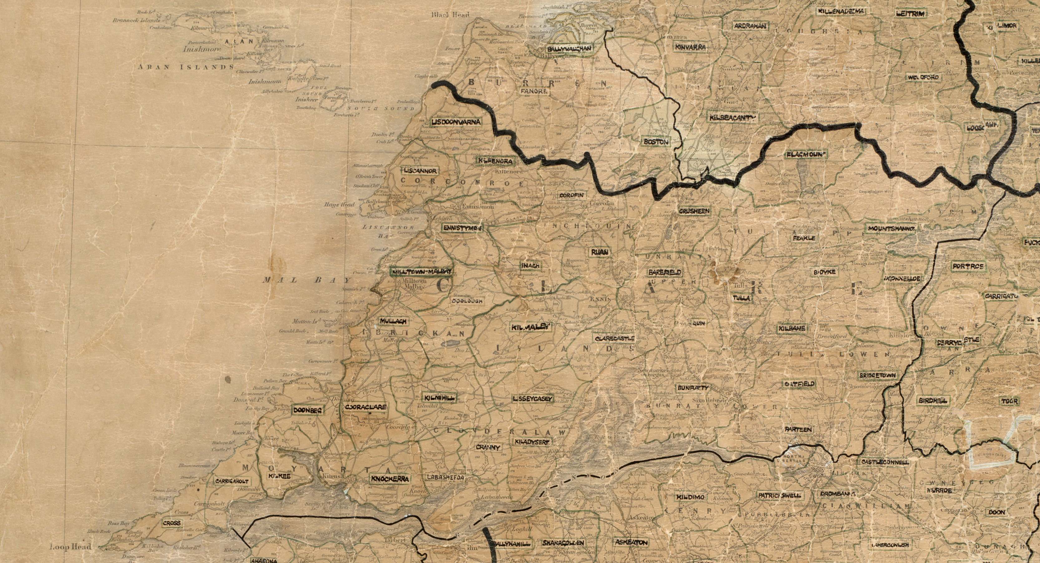
Map of County Clare showing the 40 rural areas created for the Rural Electrification Scheme, with area boundaries and place names marked across the county.

Connecting Clare to the national grid

Explore the history of electricity in County Clare
Learn more
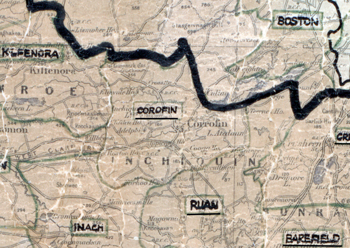
A scanned, worn historical map from the 1940s of the rural electrification area around  Corofin. A hand‑drawn boundary outlines the region, including Kilfenora, Inagh, Ruan, Barefield, Crusheen, and Boston.

Corofin, Co. Clare

Electrified in 1954

Learn more
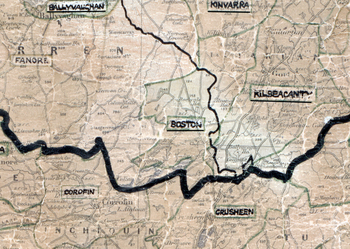
A scanned, worn historical map from the 1940s of the rural electrification area around Boston. A hand‑drawn boundary outlines the region, including Ballyvaughan, Fanore, Corofin, Crusheen, Kilbeacanty, and Kinvara.

Boston, Co. Clare

Electrified in 1956

Learn more
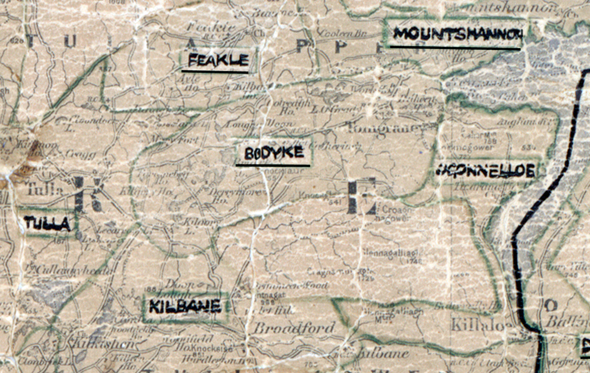
A scanned, worn historical map from the 1940s of the rural electrification area around Bodyke. A hand‑drawn boundary outlines the region, including Feakle, Tulla, Kilbane, Mountshannon, and O’Connelloe.

Bodyke, Co. Clare

Electrified on 1951

Learn more
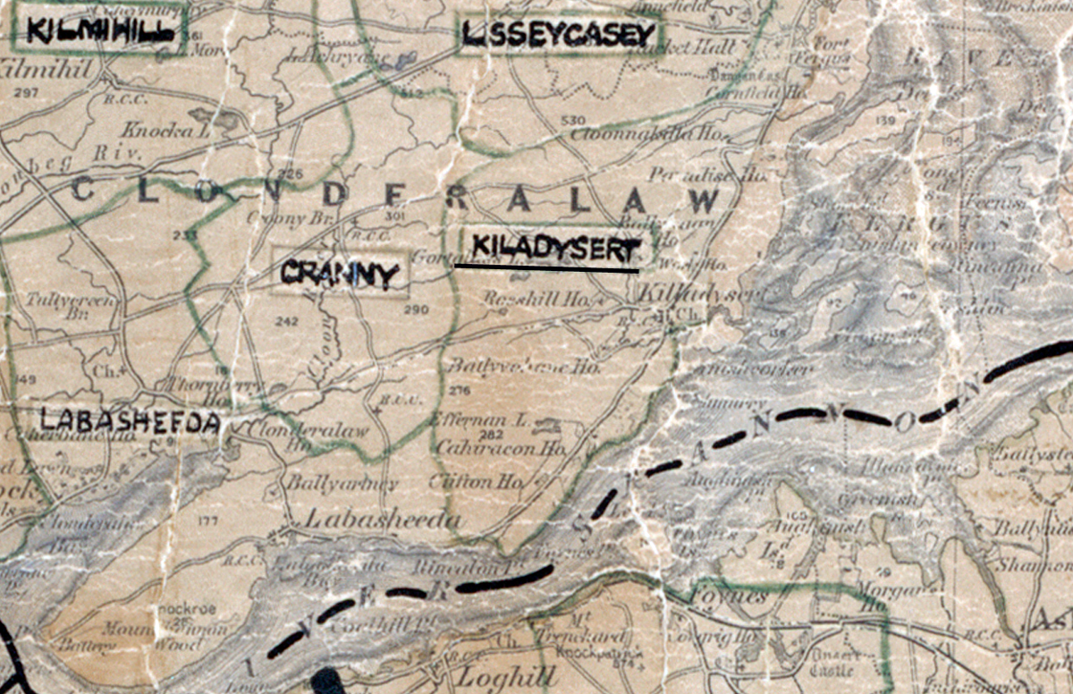
A scanned, worn historical map from the 1940s of the rural electrification area around Kiladysart. A hand‑drawn boundary outlines the region, including Kilmihil, Lisseycasey, Cranny, and Labasheeda.

Kiladysart, Co. Clare

Electrified in 1952

Learn more
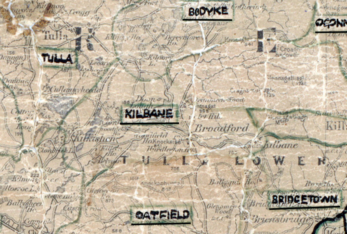
A scanned, worn historical map from the 1940s of the rural electrification area around Kilbane. A hand‑drawn boundary outlines the region, including Tulla, Bodyke, Oatfield, and Bridgetown.

Kilbane, Co. Clare

Electrified in 1957

Learn more