Skip to Content

Rural electrification archive

This collection contains articles about each of the 762 rural areas that Ireland was divided up into for the Rural electrification scheme in the 1940s.

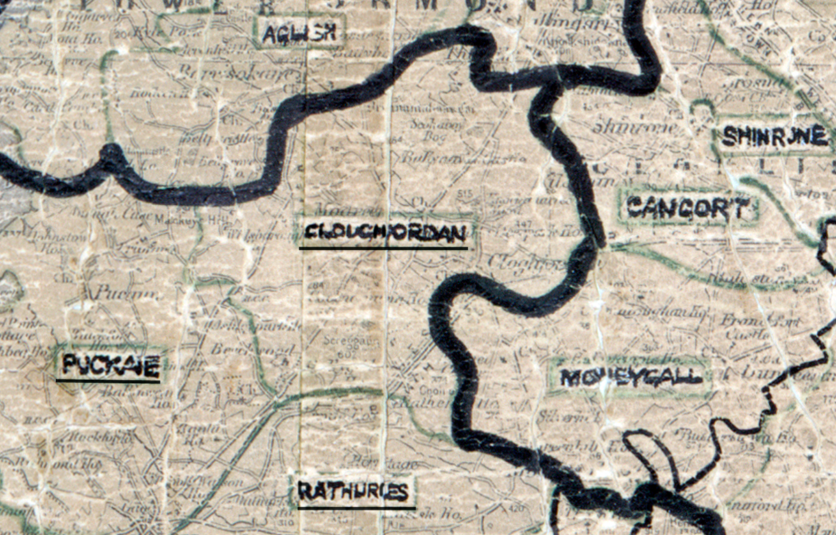
“A scanned, worn historical map from the 1940s of the rural electrification area around Cloughjordan. A hand‑drawn boundary outlines the region, including Rathures and Moneycall.

Cloughjordan, Co. Tipperary

Electrified in 1957

Learn more
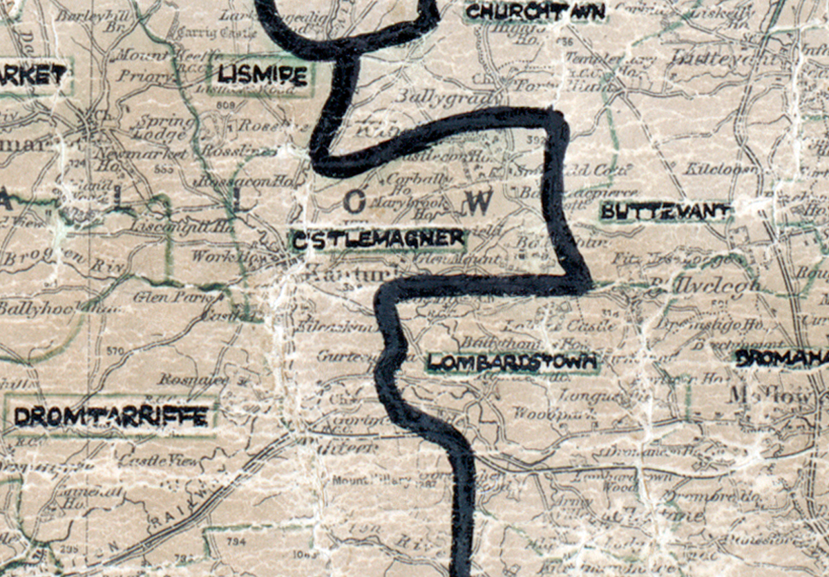
A scanned, worn historical map from the 1940s of the  rural electrification area around  Castlemagner. A hand‑drawn boundary outlines the region, including Lismire, Churchtown, Buttevant, Dromahane and Dromtarriffe.

Castlemagner, Co. Cork

Electrified in 1951

Learn more
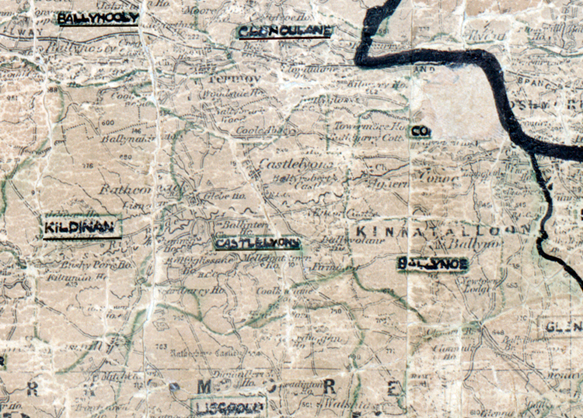
A scanned, worn historical map from the 1940s of the  rural electrification area around  Castlelyons. A hand‑drawn boundary outlines the region, including Ballyhooly, Kildinan, Clondulane and Lisgold.

Castlelyons, Co. Cork

Electrified in 1954

Learn more
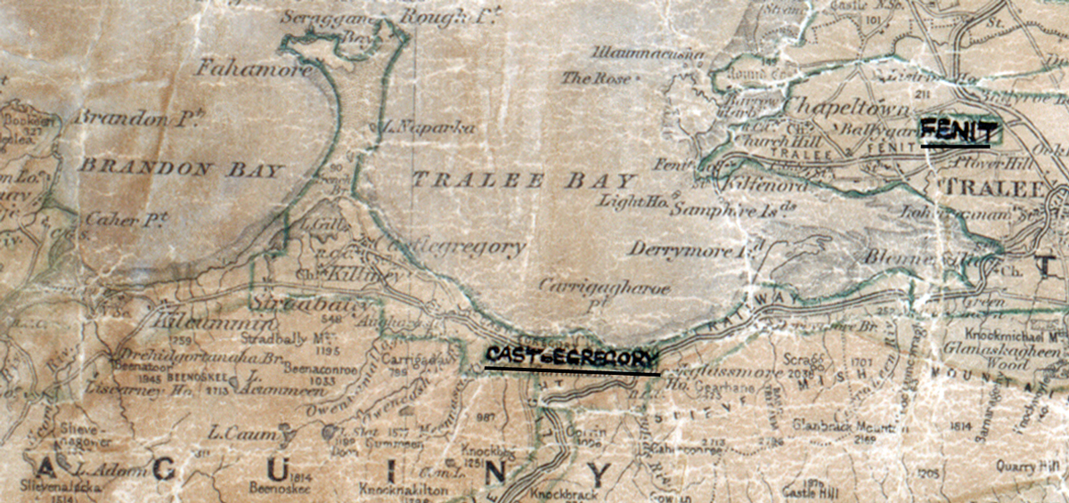
A scanned, worn historical map from the 1940s of the  rural electrification area around  Castlegregory. A hand‑drawn boundary outlines the region, including Fenit.

Castlegregory, Co. Kerry

Electrified in 1952

Learn more
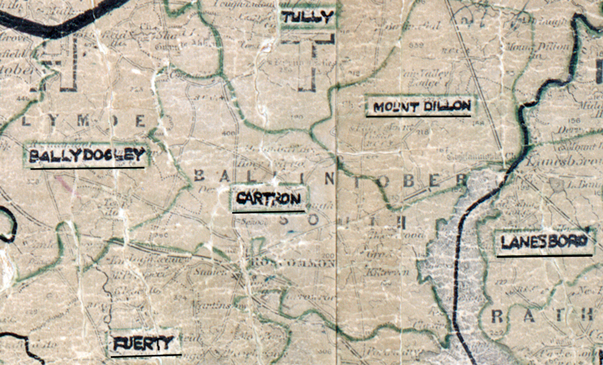
A scanned, worn historical map from the 1940s of the  	rural electrification area around  Cartron. A hand‑drawn boundary outlines the region, including Tully, Ballydooley, Fuerty, Mount Dillon and Lanesboro.

Cartron, Co. Roscommon

Electrified in 1955

Learn more
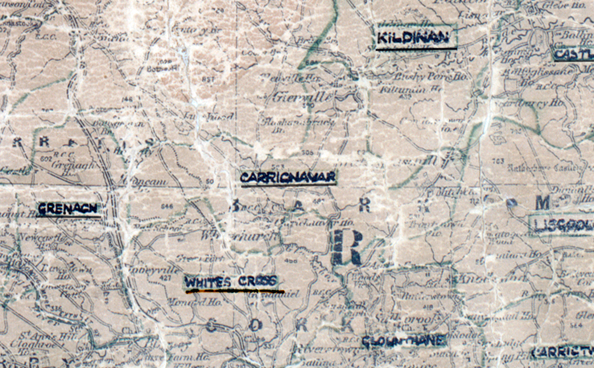
A scanned, worn historical map from the 1940s of the  rural electrification area around  Carrignavar. A hand‑drawn boundary outlines the region, including Grenagh, Kildinan, Whites Cross and Glounthane.

Carrignavar, Co. Cork

Electrified in 1953

Learn more